
Cameras often struggle at night not solely due to software shortcomings, but because of an unavoidable physical dependency baked into every silicon sensor on the market.
CMOS sensors — the image capture technology powering virtually every automotive camera today — are fundamentally passive devices. They collect ambient photons reflected off objects and convert that light into electrical signals. In daylight, millions of photons flood each pixel every second, producing crisp, high-contrast imagery. Remove that light source, and the sensor begins to starve.
In low-light environments, this starvation triggers a well-documented phenomenon: signal-to-noise ratio (SNR) collapse. As photon counts drop, the weak electrical signal generated by each pixel becomes increasingly indistinguishable from random thermal noise in the circuitry. The camera compensates by amplifying gain, but this amplification magnifies noise just as aggressively as the signal itself, producing grainy, unreliable output. According to research published in Nature Communications, cameras experience a significant drop in object detection accuracy in low-light conditions, often falling below 50% reliability without external illumination — a margin that poses significant challenges for safety-critical navigation.
The opposite extreme creates an equally dangerous failure mode: pixel saturation. When a bright headlight, sun reflection, or high-contrast backlit scene floods the sensor, individual pixels accumulate more charge than they can hold. The excess charge bleeds into neighboring pixels — a process called blooming — washing out edges, obscuring obstacles, and rendering depth perception unreliable.
These are not engineering oversights. They are hard constraints of passive sensing physics. No amount of image processing fully overcomes a sensor that received too few — or too many — photons to begin with.
This is precisely why LiDAR-based night vision for autonomous driving represents a fundamentally different paradigm: rather than waiting passively for ambient light, LiDAR generates its own illumination to map the environment — a distinction worth understanding in detail.
Active Sensing: How LiDAR Generates Its Own ‘Night Vision’
Unlike passive sensors that depend entirely on available light, LiDAR actively generates its own illumination — making it the only sensing technology that operates identically at 2 PM or 2 AM.
Understanding how LiDAR works starts with a single principle: it never waits for light. It creates it.
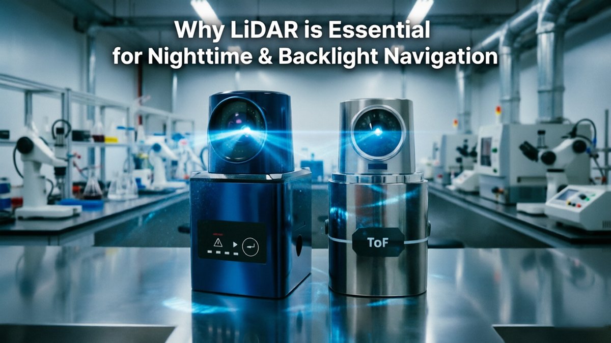
Infrared pulse emission is where the process begins. A LiDAR emitter fires rapid bursts of laser light — typically at either 905nm or 1550nm wavelengths — both sitting firmly in the infrared spectrum, invisible to the human eye and completely independent of ambient lighting conditions. These aren’t passive reflections of streetlights or headlamps. They’re controlled, precisely timed pulses launched outward into the environment hundreds of thousands of times per second.
Time-of-Flight (ToF) measurement then converts those pulses into distance data. The moment a pulse leaves the emitter, a timer starts. When the reflected signal returns to the receiver, the elapsed time is recorded. Since light travels at a known constant speed, the round-trip duration translates directly into an exact distance measurement. This core ToF process is executed millions of times per second, building a dense spatial map in real time.
Component coordination is what makes this viable at vehicle speeds. Three elements work in unison:
- Emitter — fires the calibrated infrared pulse
- Receiver (photodetector) — captures returning photons with nanosecond precision
- Scanner — sweeps the beam across a wide field of view to build a full 3D point cloud
Spatial data independence is the critical outcome. As confirmed by Nature Communications, LiDAR maintains high consistency in spatial data acquisition regardless of ambient light — because it never relies on any. The point cloud it generates reflects geometry, not illumination.
This immunity to lighting conditions, however, is only half the story. Bright light poses an equally dangerous threat — and that’s where LiDAR’s design advantages become even more striking.
Defeating the Backlight: Solving the ‘White-Out’ Effect
Camera-based navigation fails catastrophically in backlighting conditions because CMOS sensors can’t distinguish a valid scene from an overwhelming flood of photons.
The physics are unforgiving. When a vehicle exits a dark tunnel into bright sunlight, or when oncoming high-beams strike a camera lens directly, the sensor saturates. Every pixel clips to maximum brightness simultaneously, erasing all contrast, depth cues, and lane markings in a single frame. The system goes effectively blind — not from darkness, but from too much light.
LiDAR addresses this problem at the hardware level, specifically within its lidar components on the receiver side. Rather than capturing broadband visible light like a camera, LiDAR transceivers emit laser pulses at a precise wavelength — typically 905 nm or 1550 nm, both in the near-infrared spectrum. As noted by IEEE Xplore, LiDAR sensors are immune to the “white-out” effects caused by direct sunlight or high-beam glare that routinely blind CMOS camera sensors.
The mechanism behind this immunity is narrow-band spectral filtering. Each LiDAR receiver sits behind an optical filter tuned to pass only the sensor’s own emission wavelength, blocking virtually all other light energy. Sunlight, headlights, and ambient glare simply don’t register — they fall outside the filter’s acceptance window. The sensor only “sees” its own returning pulses, regardless of what the surrounding light environment looks like.
“Narrow-band interference filters on LiDAR receivers reject ambient photons with extraordinary precision, allowing time-of-flight measurements to remain stable across dramatic shifts in background illumination.”
Radar offers partial immunity to glare but trades away the spatial resolution needed for precise obstacle detection — it can sense a stopped vehicle ahead but can’t resolve a pedestrian’s silhouette at the curb.
Understanding how LiDAR’s hardware sidesteps optical saturation naturally raises a deeper question: how does this point-cloud data actually get converted into reliable navigation — and how does that stack up against vision-based mapping systems?
LiDAR vs. vSLAM: Evaluating Navigation Options
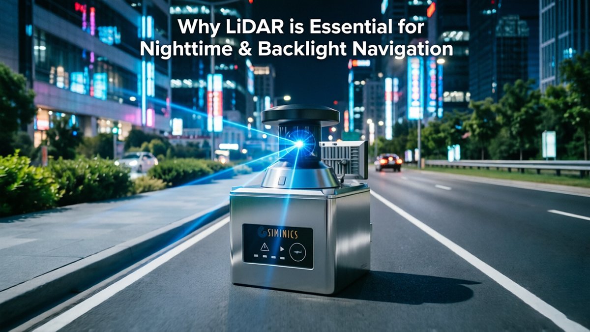
The lidar vs vSLAM debate ultimately comes down to one question: does your environment give visual algorithms enough to work with? In many real-world deployments, the answer is no.
vSLAM depends on visual features — corners, edges, and texture gradients that the algorithm can track across frames. In well-lit, richly textured spaces, this works remarkably well at low hardware cost. But in dark hallways, glass-walled offices, or featureless corridors, vSLAM degrades quickly. With nothing distinctive to lock onto, the system loses its position estimate entirely.
LiDAR-based SLAM sidesteps this problem by mapping geometry rather than appearance. Point clouds capture structural boundaries — walls, doorframes, furniture edges — regardless of lighting or surface texture. The computational model is also leaner: geometric matching algorithms process sparse, structured data far more efficiently than the dense matrix operations required for visual feature extraction and descriptor matching.
| Factor | LiDAR SLAM | vSLAM |
|---|---|---|
| Lighting dependency | None | High |
| Featureless environments | Reliable | Fails |
| Computational load | Moderate | High |
| Map data type | 3D point cloud | Feature map / dense mesh |
| Cost (hardware) | Higher | Lower |
| Accuracy in darkness | Consistent | Near zero |
Hybrid stacks are increasingly the practical answer. As SAE International notes, “LiDAR provides the high-resolution 3D ‘ground truth’ that cameras and radar lack, particularly in complex lighting scenarios.” In these architectures, LiDAR anchors the localization pipeline while cameras contribute semantic context — reading signage, detecting colors, or classifying objects. When vision fails, LiDAR holds the map. This approach mirrors how configurable sensor platforms adapt their output dynamically based on mission conditions.
This principle scales beyond industrial robotics — it’s now reshaping the consumer hardware market too.
From Warehouse to Living Room: Household LiDAR Applications
LiDAR navigation in robotic vacuums and household devices has crossed from industrial novelty into mainstream necessity, driven by consumer demand for true autonomy — not just reactive bumper logic.
Why mapping beats bumping. Early robot vacuums relied on random-bounce navigation: hit an obstacle, redirect, repeat. High-end models now use LDS (Laser Distance Sensor) technology to build full room maps before a single pass. The practical difference is significant — a mapped robot completes a floor plan systematically, reducing missed spots and total run time. More advanced units are shifting further toward dToF (direct Time-of-Flight) LiDAR, which fires discrete laser pulses and measures return times with greater precision than spinning LDS units, especially in cluttered environments. Understanding how time-of-flight principles scale from industrial sensors to compact consumer hardware helps explain why dToF is becoming the preferred architecture.
The ‘night cleaning’ advantage. According to 3itech.com, advanced household robots now use dToF LiDAR to navigate complex environments and avoid obstacles in total darkness. This is the defining benefit of lidar navigation in robotic vacuums for household use — the device doesn’t need ceiling lights, active cameras, or any ambient illumination. It maps and cleans at 2 a.m. without waking anyone.
24/7 autonomy and the self-emptying trend. The growing popularity of self-emptying robot vacuums depends entirely on this capability. A robot that can dock, empty, and redeploy in the dark operates on a genuinely continuous schedule. LiDAR is the enabling hardware layer that makes 24/7 autonomy realistic rather than aspirational. On the other hand, camera-dependent models still falter in low-light — a limitation that becomes even more consequential when the stakes move from a missed dust bunny to a missed pedestrian at night.
The Safety Imperative: Reducing Nighttime Fatalities
Nighttime driving represents a disproportionate danger — and for camera-based systems, low-light conditions expose a fundamental detection gap that no software patch fully resolves.
Cameras struggle most when contrast disappears. A pedestrian in dark clothing against an unlit road surface offers virtually no photonic signal for image sensors to differentiate. Headlight glare compounds the problem further: in backlight autonomous navigation scenarios, oncoming high beams wash out the scene entirely, leaving cameras momentarily blind in precisely the moments when reaction time matters most.
LiDAR sidesteps this limitation by measuring distance through laser reflection rather than ambient light. In practice, modern LiDAR units reliably detect low-reflectivity objects — dark clothing, wet asphalt, unlit debris — at ranges exceeding 200 meters. That detection window translates directly into braking distance. At highway speeds, 200 meters of advance warning provides roughly 7–9 seconds of reaction time, a margin that can mean the difference between a near-miss and a fatality.
According to IIHS research, pedestrian fatalities in nighttime autonomous driving simulations decrease by over 60% when LiDAR is integrated alongside camera systems.
That figure underscores why safety engineers treat redundancy as non-negotiable. No single sensor is infallible — fog, sensor occlusion, and hardware failure all create gaps. Layering LiDAR with cameras and radar creates overlapping detection fields, so a failure in one sensor doesn’t cascade into a system-wide blind spot. The underlying sensor architecture matters enormously here, since different ranging technologies carry very different vulnerability profiles under stress conditions.
What redundancy solves in ideal conditions, however, gets tested hard in rain, fog, and dust — environments where even LiDAR point clouds can degrade rapidly. That’s the challenge the next section addresses directly.
Overcoming the Noise: Signal Interference and Filtering
LiDAR’s reliability hinges not just on emitting light pulses, but on intelligently separating genuine returns from environmental clutter. Rain droplets, fog particles, and airborne dust all scatter laser pulses in ways that corrupt raw point clouds — and separating signal from noise is where modern processing algorithms earn their keep.
Environmental filtering has advanced considerably. Unlike passive cameras that simply capture reflected ambient light, active ranging systems — whether using time of flight vs triangulation methods — must contend with returns from particles that are far smaller than the objects they’re trying to detect. According to IEEE Xplore, modern LiDAR systems use advanced signal processing to filter out environmental noise and multi-path interference in complex weather, employing techniques like intensity thresholding, return-pulse width analysis, and statistical outlier removal to discard false positives before they reach the perception stack.
“Filtering algorithms don’t just clean data — they define what the sensor can perceive. A LiDAR system is only as reliable as its ability to distinguish a raindrop from a pedestrian at 30 meters.”
Multi-LiDAR interference presents a separate challenge, particularly in dense autonomous vehicle corridors or warehouse environments where dozens of units operate simultaneously. Crosstalk — where one unit inadvertently registers another’s pulses as valid returns — can introduce ghost objects or corrupt depth estimates. Randomized pulse timing and frequency-diverse encoding are now standard countermeasures.
“Solid-state designs eliminate the rotating mechanical assembly, drastically cutting vibration artifacts that plagued early spinning units and introduced systematic point cloud distortions.”
Solid-state LiDAR represents the most significant architectural shift for noise reduction. With no moving parts, these sensors produce cleaner, more consistent scan patterns — especially relevant for pulsed time-of-flight applications in industrial settings.
Each of these filtering advancements directly contributes to something broader: a sensor architecture capable of dependable 24/7 operation — regardless of lighting, weather, or traffic density.
The Bottom Line: Why LiDAR is the Future of 24/7 Autonomy
LiDAR isn’t a premium add-on — it’s the foundational sensor layer that makes truly lighting-independent autonomy possible at any hour.
Having worked through the mechanics of backlight interference, noise filtering, and nighttime fatality statistics, the conclusion for engineers and decision-makers becomes clear. Here’s what the evidence points to:
- Lighting independence is non-negotiable. Camera systems require ambient or structured light to function reliably. LiDAR actively generates its own illumination through active laser pulses, making its detection capability identical at 2:00 PM or 2:00 AM.
- Active sensing delivers the only true 3D ground truth. Passive sensors infer depth; LiDAR measures it directly. As SAE International notes, LiDAR’s centimeter-level accuracy in the dark provides the reaction time that cameras simply cannot guarantee.
- Safety and uptime justify the sensor cost. A higher bill of materials is a genuine trade-off, but one collision avoided — or one regulatory shutdown prevented — routinely exceeds the cost of a full sensor suite. The math favors investment in robust perception.
- Multi-modal fusion with LiDAR at the core is the emerging standard. Thermal, radar, and camera data all gain reliability when registered against a precise LiDAR point cloud. Understanding how active ranging scales across platforms reinforces why LiDAR anchors fusion architectures across industries.
The shift isn’t toward replacing cameras — it’s toward building sensor stacks where LiDAR provides the geometric backbone that every other modality depends on.
In practice, autonomy programs that treat LiDAR as optional consistently rediscover its value the hard way — through edge-case failures in low-light or high-glare conditions. The operational case for active ranging has never been stronger. Specific questions about how these principles hold up under rain, fog, or sensor crosstalk deserve a closer look — which is exactly where we’ll turn next.
Frequently Asked Questions: LiDAR in Challenging Environments
LiDAR’s performance across difficult conditions is one of the most misunderstood topics in autonomous navigation — and the answers matter more than most engineers expect.
Does LiDAR work in heavy rain or fog?
LiDAR performance degrades in dense precipitation because water droplets scatter infrared pulses before they reach the target — a phenomenon called backscatter. However, modern filtering algorithms and multi-return processing allow LiDAR systems to distinguish genuine object returns from rain clutter, maintaining usable detection at moderate rain rates. Solid-state sensors built on the Time of Flight principle show particular resilience by firing rapid pulse sequences and averaging results.
What is the difference between 905nm and 1550nm LiDAR?
- 905nm sensors are lower cost, use widely available components, but require power limits to remain eye-safe at close range.
- 1550nm sensors are inherently safer for human eyes at higher power levels, enabling longer detection ranges — often exceeding 200 meters — and better performance in rain and fog due to reduced atmospheric scattering.
Can LiDAR be blinded by other LiDAR sensors?
Mutual interference between sensors is a real concern in high-density deployments. Per IEEE Xplore, LiDAR operates by measuring the Time-of-Flight of infrared pulses filtered to ignore the visible light spectrum, but pulses from nearby sensors on identical wavelengths can cause ghost returns. Coded pulse sequences and frequency-hopping techniques address this effectively in modern systems.
Is LiDAR necessary if I have high-resolution thermal cameras?
Thermal cameras excel at detecting heat signatures but cannot produce precise depth measurements — they tell you something is there, not exactly how far away. LiDAR provides precise 3D geometry that thermal imaging cannot. A full-range sensor platform combines both modalities for redundancy, but LiDAR remains a critical anchor for distance-critical decisions in low-light and backlit environments.










