
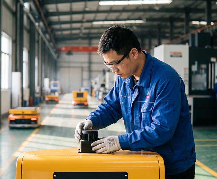
The factory floor doesn’t care about theoretical elegance. It cares about uptime, throughput, and the kind of reliability that holds up across three shifts, seven days a week. That’s precisely why the 2D LiDAR scanner — a technology some analysts have quietly labeled “mature” — is not only surviving the robotics revolution, it’s driving it.
The numbers tell a clear story. The global 2D LiDAR market is projected to reach $1.2 billion by 2028, fueled by a 14.5% CAGR. Far from being crowded out by flashier 3D alternatives, 2D technology is scaling precisely because it solves a specific, high-volume problem exceptionally well: fast, accurate planar detection in structured environments.
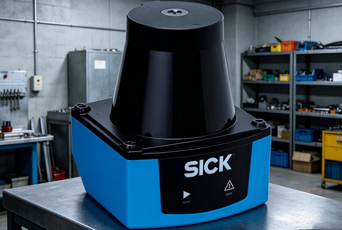
Reliable planar sensing remains the backbone of modern AGV safety. Automated Guided Vehicles depend on consistent obstacle detection and lane-keeping within defined corridors — tasks where a single horizontal scan plane delivers everything needed without added complexity. The sensors used in AGV and AMR navigation have been refined over decades to operate with sub-millisecond latency and near-zero false-positive rates, a track record that newer 3D systems are still working to match in real-world deployments.
This brings us to what practitioners quietly call the ‘Efficiency Gap’ — the measurable difference in computational load, integration complexity, and operational cost between 2D and 3D systems. In practice, adding a third dimension isn’t a free upgrade; it comes with significant overhead that not every application justifies.
Understanding that gap in detail requires a closer look at what actually separates 2D and 3D performance under industrial conditions — and where that vertical data point genuinely earns its cost.
2D LiDAR vs. 3D LiDAR: A Technical Performance Breakdown
The previous section established why 2D LiDAR holds its ground in demanding industrial environments. But to fully appreciate that position, it helps to stack both technologies side by side — not on a spec sheet, but in the conditions where performance actually matters.
| Metric | 2D LiDAR | 3D LiDAR |
|---|---|---|
| Scanning frequency | Up to 100Hz | Typically 10–20Hz |
| Data points per scan | Hundreds | Tens of thousands |
| Processing overhead | Low | High |
| Real-time latency | Milliseconds | Higher (compute-dependent) |
| Cost | $ to $$ | $$$ to $$$$ |
| Best environment fit | Structured, planar | Unstructured, variable terrain |
The numbers tell a clear story. Data volume and decision speed are in direct tension — and in high-throughput industrial settings, that tension breaks in favor of 2D.
When Processing Overhead Becomes a Bottleneck
3D LiDAR generates massive point clouds that require substantial compute resources to process in real time. For applications like automated guided vehicles (AGVs) navigating a structured factory floor, that overhead is unnecessary drag. Every additional millisecond of latency in the perception loop is a millisecond the system can’t react to a forklift crossing its path. Lean sensor architecture isn’t a compromise — it’s a design principle.
Scanning Frequency and High-Speed Sorting
Real-time decision-making in high-speed sorting lines demands sensor responsiveness that 3D systems often can’t match. According to Pepperl+Fuchs, 2D LiDAR sensors can achieve scanning frequencies of up to 100Hz — enough to reliably detect objects moving faster than 5 meters per second. In parcel logistics or component sorting, where conveyor speeds push the limits of any detection system, that frequency advantage is decisive. For facilities running mobile robots alongside fixed automation, this responsiveness directly affects throughput metrics.
The ‘Z-Axis’ Tax: Do You Actually Need Vertical Data?
This is the question that separates practical engineering from feature-chasing. Vertical data matters when objects vary meaningfully in height — pallets stacked unevenly, irregular terrain, or overhead obstacles. For most precision navigation tasks on flat industrial floors, adding a Z-axis means paying a steep cost in processing complexity, hardware budget, and integration time without a proportional operational gain.
The 2d lidar vs 3d lidar decision, in practice, often comes down to this: if your environment is structured and your detection plane is consistent, the third dimension is overhead you’re paying for without cashing in.
Of course, even the leanest sensor architecture fails if the underlying measurement technology can’t handle real-world interference. That’s where the physics of detection — specifically, how a sensor handles ambient light and reflective surfaces — becomes the next critical variable.
The ToF Advantage: Why Time-of-Flight Beats Triangulation
Understanding what separates a reliable 2D LiDAR sensor from one that fails under real industrial conditions comes down to physics — specifically, how the sensor measures distance in the first place. Two dominant approaches compete in the market: Time-of-Flight (ToF) and triangulation. Choosing between them has direct consequences for uptime, accuracy, and long-term cost — including the total 2D LiDAR sensor price you’ll actually pay over a product’s lifecycle.
How Time-of-Flight Works — and Why It Wins
ToF sensors emit a laser pulse and measure the time it takes for that pulse to return from a surface. The math is straightforward: distance equals the speed of light multiplied by half the elapsed time. What makes this approach powerful in industrial settings is its inherent resistance to environmental interference.
“2D LiDAR sensors utilizing Time-of-Flight technology provide superior ambient light immunity compared to triangulation-based sensors.” — Sick Sensor Intelligence, Technical Whitepaper
That immunity matters enormously on a real factory floor. Skylights, welding arcs, and overhead industrial lighting can all saturate a triangulation sensor’s photodetector, producing false readings or complete measurement dropout. A ToF-based scanner — like the kind used in industrial scanning applications — sidesteps this problem by measuring time rather than light intensity at an angle.
Where Triangulation Falls Short
Triangulation-based sensors calculate distance by projecting a laser dot and measuring its displacement across an imaging array. The approach works well in controlled, low-ambient-light lab environments. In practice, however, it struggles with:
- Highly reflective surfaces (polished metal, wet floors, shrink-wrapped pallets)
- Outdoor or semi-outdoor deployments where sunlight introduces background noise
- Long-range requirements, since angular displacement shrinks as distance grows
Diagram description: A side-by-side comparison showing a triangulation sensor’s angle-based displacement measurement degrading under high ambient light versus a ToF sensor maintaining consistent pulse-return timing regardless of background illumination.
Industrial-Grade Reliability Benchmarks
For AGV navigation and perimeter safety, hardware-grade reliability — not just accuracy specs — is the differentiator. Industrial ToF scanners are routinely rated for IP67 ingress protection, operate across wide temperature ranges, and deliver scan rates that hold consistent under continuous duty cycles. For applications involving autonomous vehicle navigation on factory floors, this sustained reliability translates directly into fewer unplanned stops.
That reduction in unplanned stops, of course, has a measurable dollar value — which is exactly what the next section quantifies.
Operational ROI: Reducing Downtime with 2D Safety Zones
Technical performance only matters if it translates into measurable business outcomes. For warehouse and manufacturing operators, the most compelling case for 2D LiDAR isn’t found in spec sheets — it’s found on the floor, where every collision avoided represents real money saved.
Layered Safety Zones That Actually Work
One of the most practical applications of Time-of-Flight LiDAR technology in industrial settings is the implementation of configurable safety zones around AGVs and autonomous mobile robots. Rather than relying on a single hard stop, operators typically configure two distinct zone types:
- Slow-down zones — outer perimeters that trigger a speed reduction when a person or obstacle enters the area, allowing the vehicle to safely decelerate
- Emergency stop zones — inner perimeters that command an immediate halt when the threshold is breached
This layered approach dramatically reduces the shock to mechanical systems, minimizes load shifting, and — critically — keeps traffic moving instead of triggering full operational pauses. According to Logistics Management Magazine, integrating 2D LiDAR in AGVs reduces collision-related downtime by up to 40% in high-traffic warehouse environments. That’s not a marginal gain; it’s a shift in how facilities budget for interruptions.
Plug-and-Play PLC Integration
What makes this ROI achievable at scale is how cleanly 2D LiDAR sensors integrate with existing PLC and industrial control systems. Most sensors communicate via standard protocols — including EtherNet/IP, PROFINET, and digital I/O — meaning facilities don’t need to overhaul their control architecture to gain the benefits. You can learn more about how detection-focused sensing works with I/O-based outputs designed specifically for this kind of industrial handshake.
In practice, a properly configured 2D LiDAR safety system delivers ROI across several dimensions:
- Reduced equipment repair and replacement costs
- Lower workers’ compensation exposure
- Improved throughput by maintaining consistent vehicle speeds
- Faster regulatory compliance with safety standards like ISO 3691-4
Collision-free operations aren’t just a safety metric — they’re a throughput strategy. As AI continues to reshape how sensor data is interpreted and acted upon, that foundation of reliable 2D detection becomes even more valuable — a point worth exploring in detail next.
Future Outlook: AI and the Evolution of 2D Perception
The ROI gains covered in the previous section are compelling on their own — but they only represent what 2D LiDAR delivers today. What’s coming next is arguably more significant.
When Raw Scan Data Gets Smart
Industrial automation sensors are entering a new era of intelligence. AI-driven processing layers — sometimes called reranking algorithms — are being layered on top of raw 2D scan data to dramatically enhance what a single horizontal plane of measurement can “see.” Rather than outputting simple point clouds, next-generation systems filter, classify, and prioritize objects in real time, distinguishing a stray pallet from a moving forklift operator with far greater contextual accuracy.
This shift aligns with the broader Scientific Intelligence (AI4S) movement, where the evolution of AI is transforming how raw sensor data is interpreted for observation and decision-making at scale. In industrial environments, that means 2D scans aren’t just triggering safety stops — they’re feeding predictive models that anticipate workflow bottlenecks before they occur.
Smarter algorithms mean a fixed sensor footprint delivers exponentially greater situational awareness — without the cost overhead of adding hardware.
For a practical look at how coherent detection principles are extending into next-generation designs, the differences between ToF and FMCW approaches are worth understanding as part of any long-term procurement strategy.
Future-Proofing Your Sensor Investment
Choosing industrial automation sensors with open data interfaces and ROS compatibility positions operations to absorb AI upgrades through firmware and software — not hardware replacement. Organizations procuring today should prioritize sensors with documented SDK support and active developer ecosystems.
That leads naturally to some of the most common technical questions operators raise when planning integrations — which we’ll address directly in the next section.
Expert Insights & Frequently Asked Questions
2D LiDAR has proven its staying power across warehouses, factories, and autonomous mobile robots — and the questions operators ask most often cut straight to the practical concerns: reliability, range, and integration. Here are the answers that matter.
Can 2D LiDAR work in rain or fog?
Performance in adverse conditions depends heavily on the wavelength and optical design of the specific scanner. In practice, most industrial 2D LiDAR units using 905nm lasers experience some signal degradation in heavy rain or dense fog, as water droplets scatter return pulses. However, for indoor industrial environments — the primary use case — atmospheric interference is essentially a non-issue, making this limitation largely irrelevant for the majority of deployments.
What is the typical range for industrial 2D scanners?
Most industrial-grade 2D LiDAR scanners deliver reliable detection between 25 and 100 meters, with high-end safety-certified models reaching up to 270 meters in open environments. For AGV navigation and safety zoning on typical factory floors, a 25–50 meter range is more than sufficient for real-time obstacle detection and path planning at operational speeds.
How do you integrate 2D LiDAR with ROS?
Integration with the Robot Operating System is well-standardized. Most manufacturers publish open-source ROS drivers that publish scan data as sensor_msgs/LaserScan topics, which feed directly into SLAM packages like GMapping or Hector SLAM. Increasingly, edge-computing pipelines leverage lightweight models — similar to edge-computing architectures — to filter and prioritize scan data before it reaches the navigation stack, reducing processing overhead significantly.
2D LiDAR technology remains integral. Its combination of precision, cost-efficiency, and seamless ecosystem integration makes it the dependable backbone of modern industrial automation — today and well into the AI-driven future ahead. Explore purpose-built 2D LiDAR solutions to find the right fit for your application.
Key Takeaways
- Highly reflective surfaces (polished metal, wet floors, shrink-wrapped pallets)
- Outdoor or semi-outdoor deployments where sunlight introduces background noise
- Long-range requirements, since angular displacement shrinks as distance grows
- Slow-down zones — outer perimeters that trigger a speed reduction when a person or obstacle enters the area, allowing the vehicle to safely decelerate
- Emergency stop zones — inner perimeters that command an immediate halt when the threshold is breached










