Two fundamentally different technologies power modern terrain mapping — and understanding that gap is the fastest way to see why the lidar vs photogrammetry debate isn’t really a debate at all for dense environments.
LiDAR is an active sensor. It fires its own laser pulses toward the ground and measures the time each pulse takes to return. No sunlight required. As NOAA’s Ocean Service notes, LiDAR’s self-generated light source makes it effective for night operations or low-light conditions where passive systems struggle. That operational independence — the ability to collect accurate data at 2:00 AM or under heavy overcast — is a genuine engineering advantage, not a marketing claim. The underlying principle also drives innovations like spatial mapping without GPS, where timed laser returns build real-time positional awareness.
Photogrammetry is a passive sensor. It captures overlapping photographs and uses triangulation — comparing how the same physical point appears across multiple images — to reconstruct 3D geometry. That process depends entirely on ambient light quality, consistent surface texture, and enough image overlap to solve the geometry. The USGS Remote Sensing Instructions specify a minimum of 60–80% frontal and side overlap between images for a successful reconstruction. Miss that threshold and the point cloud develops gaps or alignment errors, particularly in featureless or shadowed zones.
The structural consequence of that overlap requirement is significant. Photogrammetry flight plans must be conservative and slow, maximizing redundancy to compensate for the sensor’s passive nature. LiDAR flight plans can be more aggressive because the sensor doesn’t rely on lighting geometry or surface reflectance to generate returns. That difference in data-collection physics compounds as terrain complexity increases — and nowhere does it compound faster than under a closed forest canopy.
Penetrating the Canopy: Why LiDAR Wins in Dense Vegetation
LiDAR doesn’t just scan a forest’s surface — it fires laser pulses that physically travel through gaps in the canopy to find solid ground beneath.
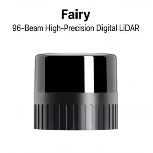
The key mechanism is multi-return, or multiple-return, processing. When a single laser pulse hits a tree canopy, it doesn’t stop at the first leaf it touches. Part of the pulse energy reflects back from the topmost branches — that’s the first return. Remaining energy continues downward, generating additional returns from lower vegetation layers, understory shrubs, and finally, bare earth. According to the National Ecological Observatory Network (NEON), LiDAR sensors can record up to five returns from a single pulse, allowing software to separate vegetation hits from true ground strikes with remarkable precision.
Photogrammetry has no equivalent capability. A camera reconstructs surfaces by matching visual features across overlapping images, which means it can only model what it can optically see. In a dense hardwood stand or a tropical plantation, the leaf canopy is essentially a solid ceiling. The resulting point cloud captures treetops, not terrain — a limitation that becomes critical when you understand the difference between a digital surface model vs digital terrain model. Photogrammetry often delivers only the former in vegetated environments, regardless of image resolution or flight altitude.
That last return — the pulse energy that made it all the way to the soil — is what makes LiDAR indispensable for terrain-focused engineering. As explained in more detail on how active sensing reshapes aerial mapping, that ground-level return is the foundation for accurate bare-earth models. In practice, this eliminates the costly, time-consuming need to clear vegetation before a survey can begin. Pipeline corridors, floodplain assessments, and forestry road design projects that would otherwise require weeks of pre-survey clearing can proceed almost immediately — compressing project timelines significantly without sacrificing accuracy.
That distinction — between what’s on top of the earth and what the earth actually is — becomes even more consequential when engineering tolerances are on the line, which is exactly where the next section picks up.
DSM vs. DTM: The Critical Distinction for Engineering Accuracy
The difference between a Digital Surface Model and a Digital Terrain Model isn’t just terminology — it’s the gap between a map that’s useful and one that’s actionable for real engineering decisions.
A DSM captures everything the sensor “sees” from above — treetops, building rooftops, power lines, and vegetation. It represents the top layer of the physical world. A DTM, by contrast, strips all of that away to reveal only the bare-earth surface beneath. For construction grading, flood modeling, pipeline routing, and autonomous equipment navigation, the DTM is the dataset that actually drives decisions.
Here’s where the two technologies diverge sharply:
- Photogrammetry in forested areas reconstructs geometry from overlapping photographs, but those photos can only capture what’s optically visible. In dense canopy, the camera never sees the ground — it sees a continuous green surface. The result is effectively a DSM only, with the terrain buried and inaccessible. Even deploying dense ground control points in photogrammetry workflows can improve absolute accuracy above the canopy, but can’t recover ground data that was never captured in the first place.
- LiDAR produces both outputs simultaneously. Because laser pulses physically penetrate canopy gaps and return multiple echoes, the system separates first-return data (DSM) from last-return data (DTM) in a single flight.
That separation has real precision behind it. According to the American Society for Photogrammetry and Remote Sensing, LiDAR systems can maintain vertical accuracy within 5–10 centimeters even under dense canopy — a benchmark photogrammetry cannot reliably match once vegetation enters the picture.
For construction teams, that 5–10 cm vertical tolerance translates directly into earthwork volume calculations, drainage slope designs, and cut-and-fill estimates that hold up in the field. Getting the DTM wrong by even 30 cm can cascade into costly rework. Understanding exactly what your sensor delivers — surface model or terrain model — isn’t academic; it shapes every downstream decision. That distinction becomes even more consequential when you factor in how efficiently each technology can be deployed in the field, which is where processing workflows and operational logistics come into play.
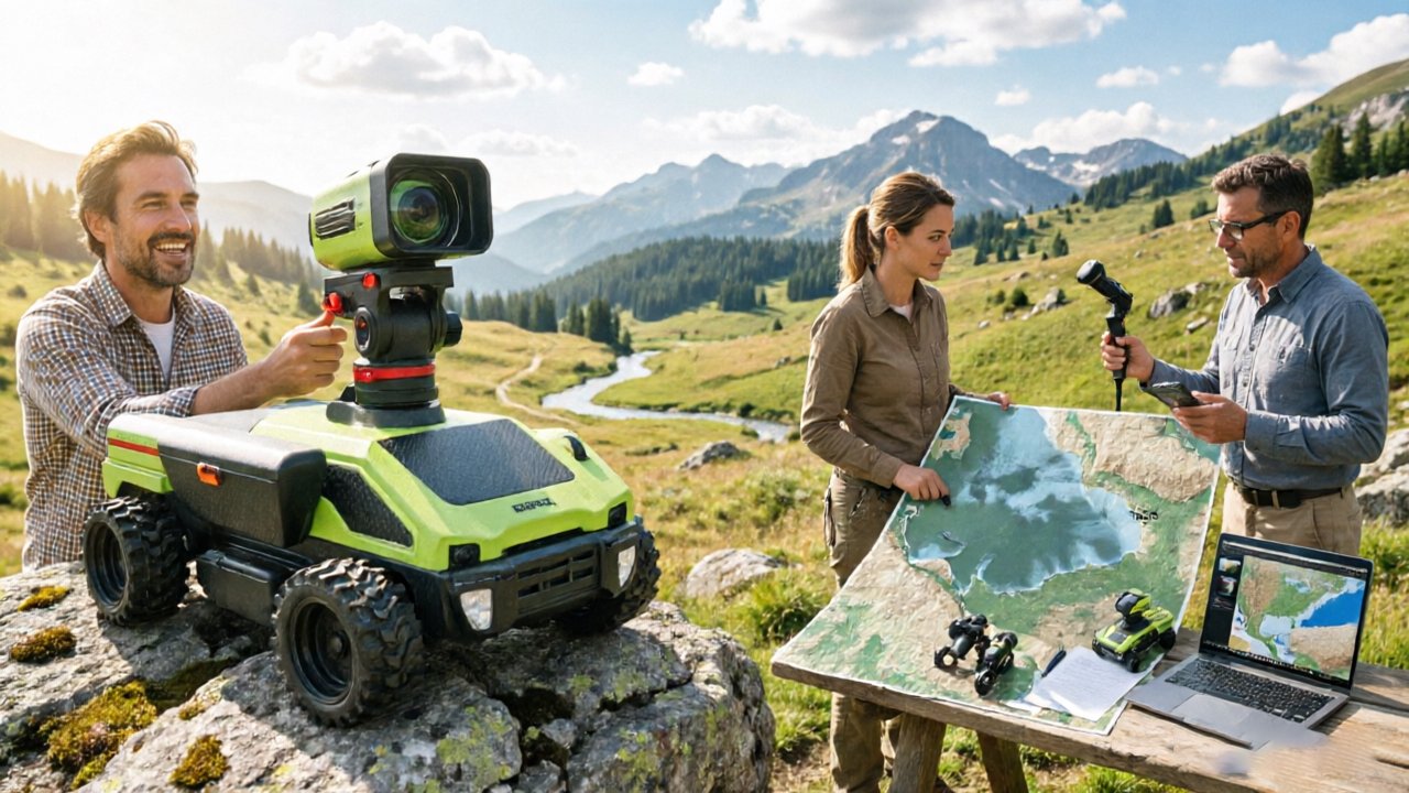
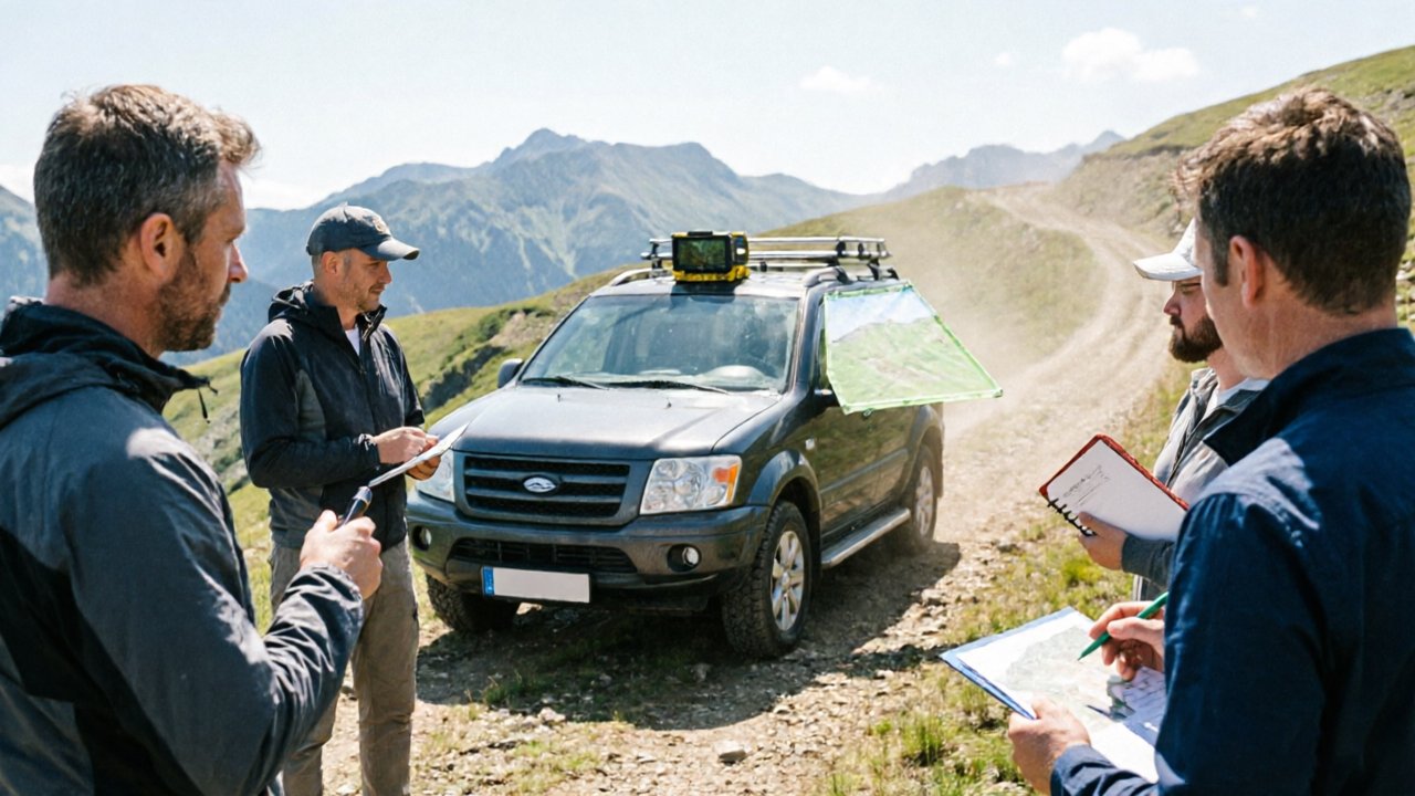
Operational Efficiency: Drone Mapping and Data Processing
When it comes to lidar vs photogrammetry accuracy, the gap often widens not in the field but in the workflow — from how long you spend on the ground to how many hours your computers spend rendering a deliverable.
LiDAR’s processing pipeline is dramatically leaner. Point cloud data from a LiDAR sensor arrives already georeferenced through onboard IMU and GNSS integration. What typically happens is that a survey crew can complete a flight, transfer data, and begin analysis within the same workday. Photogrammetry workflows tell a different story. Processing thousands of overlapping images through structure-from-motion algorithms can take hours or even days of compute time, depending on site size and image resolution.
Ground Control Points add significant overhead to photogrammetric workflows. To achieve survey-grade accuracy, photogrammetry typically requires teams to physically place and GPS-survey GCPs across the project area before each flight. In practice, a single site may need 10–20 GCP markers, each requiring precise measurement. LiDAR-equipped drones, by contrast, can often achieve comparable or superior positional accuracy through direct georeferencing alone — reducing the need for extensive ground-based surveying that can stretch a single assessment into days.
Featureless terrain is where photogrammetric workflows quietly break down. According to the USGS, uniform surfaces like sand dunes or snow fields lack the visual texture that structure-from-motion algorithms rely on to match keypoints between images. The result is significant reconstruction noise or outright failure — the software simply cannot distinguish one patch of white from the next. LiDAR sidesteps this entirely; the sensor measures physical distance regardless of surface color or pattern.
These workflow realities matter as much as sensor specs when choosing a mapping approach. Of course, efficiency and terrain penetration aren’t the only dimensions worth evaluating — how your final deliverable looks matters too, which is where photogrammetry still holds a compelling advantage.
Visual Fidelity and Colorization: Where Photogrammetry Shines
Photogrammetry’s greatest competitive advantage isn’t geometric precision — it’s the richness of visual information it captures by default.
Where photogrammetry genuinely leads is in RGB colorization and photorealistic texture. Every image captured by a drone camera carries full color data, which photogrammetry pipelines bake directly into the resulting 3D model. The output isn’t just a point cloud — it’s a visually navigable replica of a real-world asset. According to FlyByGuys analysis, photogrammetry provides high-resolution visual textures that are essential for asset inspection and realistic 3D modeling. For use cases like building facade inspection, roof condition assessments, or cultural heritage documentation, that visual fidelity is often the primary deliverable — not elevation accuracy.
“When the goal is to see something, not just measure it, photogrammetry delivers a level of visual realism that raw LiDAR point clouds simply cannot match without significant post-processing.”
The hardware barrier also matters here. A capable drone camera setup — already standard on many commercial UAV platforms — is all a team needs to begin photogrammetric mapping. There’s no separate sensor payload to integrate, no eye-safety considerations, and no added weight affecting flight time. For organizations beginning their aerial mapping programs, this accessibility makes photogrammetry a practical starting point.
That said, the gap between visual appeal and lidar mapping accuracy becomes apparent the moment dense vegetation or complex geometry enters the picture. Teams that recognize this ceiling increasingly turn to colorized LiDAR — a hybrid approach that pairs a LiDAR scanner with an integrated RGB camera. The camera captures texture and color data simultaneously, which is then projected onto the LiDAR point cloud in post-processing. The result combines geometric precision with visual context, addressing the core weakness of each standalone method. Understanding how active sensing handles complex environments helps explain why this hybrid approach is gaining traction across demanding survey applications. With that tradeoff landscape now clear, the next step is translating these differences into a structured decision framework.
Choosing Your Payload: Decision Matrix for R&D Leads
The right drone mapping payload isn’t a matter of preference — it’s a function of four specific project conditions that determine which technology will actually deliver.
Before committing to a sensor, procurement managers and R&D leads should run every project through the following decision criteria:
- Is there vegetation present? If yes, LiDAR. Photogrammetry cannot penetrate dense canopy to reach the ground surface below. LiDAR’s active laser pulses return multiple hits per shot, capturing both the canopy layer and bare-earth elevation simultaneously.
- Is high vertical accuracy required? If yes, LiDAR. For infrastructure inspection, corridor mapping, or floodplain modeling where sub-10cm vertical precision matters, LiDAR’s direct ranging outperforms photogrammetry’s reconstructed depth estimates — especially across terrain with low visual texture.
- Is color or surface texture the deliverable priority? If yes, photogrammetry. When a client needs photorealistic 3D models, orthomosaics, or visually rich site documentation, photogrammetry captures dense color data by default without any post-processing colorization step.
- What is the operating environment? If the project involves night operations, low-light conditions, or shadowed terrain, only LiDAR is viable. As [NOAA notes](https://oceanservice.noaa.gov/facts/lidar.html), LiDAR’s active sensing enables 24/7 operation — photogrammetry is inherently constrained by solar windows and shadow interference that degrade reconstruction quality.
In practice, most complex terrain projects — forestry, mining, utility corridors — will satisfy at least two of these LiDAR-favoring conditions simultaneously, which is why the technology dominates professional survey workflows. When even one high-stakes factor like vegetation or vertical accuracy is in play, defaulting to photogrammetry introduces compounding risk.
Procurement managers operating across varied project types often find it useful to understand how field-of-view geometry affects data completeness before finalizing sensor specifications — especially for projects where occlusion in complex scenes could invalidate deliverables.
The practical case for LiDAR is already clear. What’s changing is the cost equation — and that shift is opening the door for teams that previously couldn’t justify the investment.
The Future of Procurement: Direct Factory Access for LiDAR
The biggest argument against LiDAR has always been cost — but that argument is rapidly losing its footing as procurement models evolve.
The cost barrier to active sensing is structural, not inherent. For years, the price gap between LiDAR and photogrammetry systems wasn’t purely a reflection of sensor complexity — it was inflated by multi-layer distribution chains, regional markups, and limited supplier competition. R&D teams and survey operations often paid a premium not for better hardware, but for the privilege of accessing it through intermediaries.
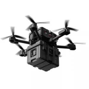
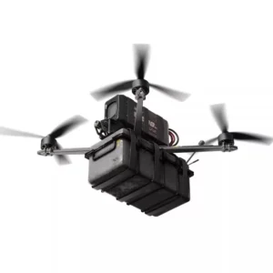
That dynamic is shifting. Direct factory-to-customer platforms like LidarStar are eliminating those intermediary layers by sourcing high-performance sensors directly from manufacturers like RoboSense and Hesai. The result is industrial-grade hardware — including triple-certified sensors built for demanding field and autonomous applications — available at pricing that genuinely reflects manufacturing cost rather than distribution overhead. For operations that previously shelved LiDAR proposals over budget concerns, this model reopens the conversation.
LiDAR is a long-term investment that compresses total project cost. A single flight with a LiDAR payload over dense canopy delivers clean ground data that would otherwise require multiple photogrammetry missions, manual filtering, and supplementary ground surveys to match. When teams factor in crew time, reprocessing hours, and the cost of data gaps discovered post-mission, the upfront sensor cost looks far more reasonable.
As covered in earlier sections, the decision matrix ultimately hinges on terrain complexity, accuracy requirements, and operational windows — not sticker price alone. Understanding that procurement access has fundamentally changed is the last piece most R&D leads are missing. With that context in place, a side-by-side summary of what each technology actually delivers makes the final call much clearer.
Key Takeaways: LiDAR vs. Photogrammetry
Choosing between LiDAR and photogrammetry comes down to a single core question: does your terrain hide the ground, and does your project leave room for error?
The sections above have worked through the technical differences, procurement realities, and decision frameworks in detail. Here’s what that analysis distills to:
- LiDAR is an active sensor that emits its own laser pulses, making it independent of ambient light. It delivers vertical accuracy in the 5–10 cm range and operates effectively at dawn, dusk, or under full cloud cover.
- Multi-echo LiDAR records up to five returns per pulse — meaning the sensor captures reflections from tree canopy, mid-story vegetation, and bare earth simultaneously. According to NEON, this multi-echo capability is what makes reliable ground detection under dense canopy possible, giving it a clear edge for forested or complex terrain DTMs.
- Photogrammetry is a passive, cost-effective method that depends on ambient light and clear sightlines to feature-rich surfaces. It excels at producing high-resolution DSMs and visual models in open, well-lit environments — and does so at a significantly lower equipment cost.
- Terrain complexity and operational windows drive the decision. In open, flat areas with daytime flight windows and tight budgets, photogrammetry delivers strong ROI. In dense vegetation, steep topography, or time-sensitive conditions, LiDAR is the only sensor that consistently reaches the ground.
The fundamental difference isn’t just accuracy — it’s reliability under conditions that photogrammetry cannot control. As Propeller Aero notes, both technologies have legitimate use cases, and understanding where each breaks down matters as much as knowing where each excels. It’s also worth noting that point cloud noise and false returns can affect LiDAR output too — no sensor is unconditional.
With the core tradeoffs now clear, the practical questions around LiDAR deployment — from processing workflows to corridor mapping applications — are worth addressing directly.
Frequently Asked Questions About Mapping Technology
LiDAR and photogrammetry each come with a learning curve — and the right answers to these questions can save a project from costly restarts.
Can LiDAR work in rain or fog?
LiDAR performs better in low-light conditions than photogrammetry, but it is not weatherproof. Heavy rain and dense fog scatter laser pulses, reducing range accuracy and point cloud density. Light mist is generally manageable; sustained precipitation is not. For most field teams, marginal weather is a scheduling call, not a technology call.
How many GCPs are needed for LiDAR mapping?
LiDAR systems paired with high-grade IMU and RTK/PPK GNSS can operate with very few — sometimes zero — ground control points. In practice, most surveyors still deploy 3 to 5 GCPs per project for independent accuracy verification rather than positional correction. Photogrammetry, by contrast, often relies more heavily on GCPs distributed across the entire survey area to correct lens distortion and tie image geometry together, as Emlid’s accuracy comparison explains in detail.
Is LiDAR data harder to process than photogrammetry?
Processing complexity depends on tooling, not the technology itself. Raw LiDAR point clouds require classification steps — separating ground returns from vegetation, structures, and noise — that photogrammetry workflows skip. However, modern processing software has largely automated these steps, and the structured nature of point cloud data often makes downstream analysis faster and more repeatable than dense photogrammetric meshes.
Which technology is better for corridor mapping?
LiDAR is often preferred here. Corridor mapping for pipelines and power lines demands the ability to detect thin, isolated objects against a cluttered background — and LiDAR can reliably capture features like power lines that photogrammetry routinely misses or blurs into surrounding geometry. For any linear infrastructure project, active sensing is the technically defensible choice.