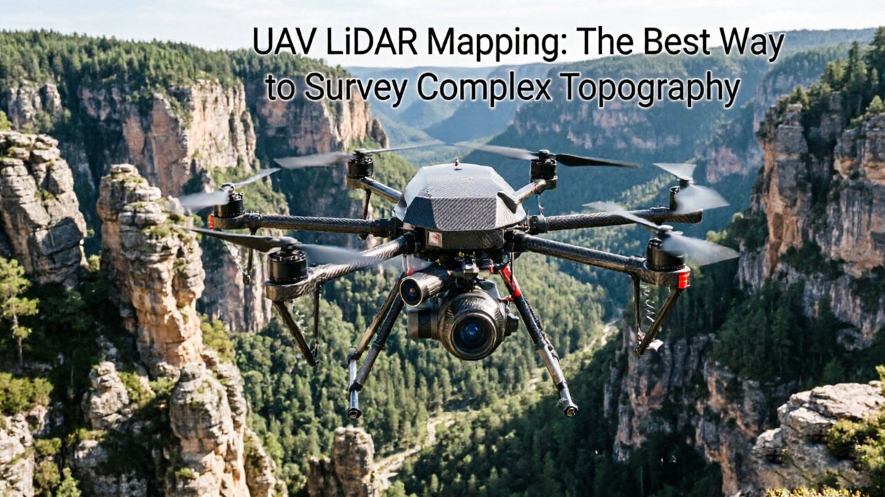
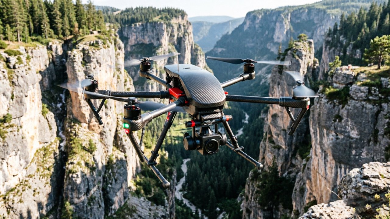
Rugged terrain doesn’t just challenge traditional surveying methods — it defeats them entirely, exposing critical failure points that no amount of field experience or equipment investment can overcome.
Line-of-sight limitations are the most immediate constraint for ground crews. Total Stations and conventional GPS-based workflows require unobstructed sightlines between instrument and target. On steep mountain corridors, switchback ridgelines, or densely vegetated slopes, those sightlines simply don’t exist. Surveyors spend enormous time — and budget — establishing traverse networks just to move incrementally through terrain that a UAV LiDAR mapping system could cover in a single flight.
Photogrammetry, often positioned as a cost-effective alternative, runs into its own fundamental wall in complex terrain. As SPH Engineering notes, photogrammetric workflows require high-contrast textures and reliable external lighting to resolve surface geometry accurately. Deep shadow cast by canyon walls or dense forest canopy eliminates both. The result is patchy, unreliable point clouds with gaps precisely where topographic detail matters most.
Satellite imagery presents a related problem on near-vertical cliff faces. When steep surfaces are viewed from an oblique overhead angle, geometric distortion creates a characteristic “smearing” effect — pixels stretched and warped across cliff faces until meaningful elevation data becomes unrecoverable. No post-processing algorithm fully corrects for a geometric problem baked into the image at acquisition.
Then there’s the human cost. Deploying field crews onto slopes exceeding 35 or 40 degrees introduces genuine safety risk — fall hazards, unpredictable rockfall, and evacuation difficulties. Labor costs compound quickly when a crew spends two days traversing terrain a drone can map in two hours.
Understanding why conventional approaches fail sets the foundation for appreciating how multi-echo pulse technology gives UAV LiDAR its decisive edge — particularly in one of the most demanding environments of all: the forested canopy.
Multi-Echo Technology: Seeing Through the Forest Canopy
LiDAR’s multi-echo capability solves the single most disabling problem in forested terrain mapping: the canopy blocks the ground from view entirely.
Traditional photogrammetry captures reflected light from surfaces. In a dense forest, that surface is the treetop layer — full stop. Cameras never see the ground beneath, producing what’s called a Digital Surface Model (DSM), which traces the undulating ceiling of vegetation rather than the actual earth below. For slope stability analysis, drainage planning, or infrastructure routing, a DSM is functionally useless. What engineers and surveyors need is a Digital Terrain Model (DTM) — a representation of bare earth stripped of all vegetation.
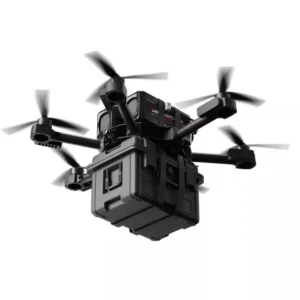
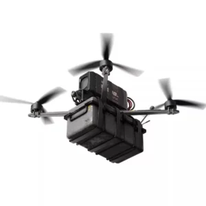
Multi-echo LiDAR changes the equation entirely. Each laser pulse fired from a lidar drone surveying platform doesn’t stop at the first surface it encounters. Instead, the sensor records multiple return signals from a single pulse — the first return off the canopy top, intermediate returns off branches and undergrowth, and critically, a final return that slips through natural gaps in the leaf cover to register the ground itself. The sensor processes these layered returns simultaneously, separating vegetation from bare earth algorithmically. The result is a true DTM generated from the same flight pass that captures the forest structure above it.
The ground point density advantage is substantial. According to UAV Coach, UAV LiDAR mapping can penetrate dense forest canopies to capture up to 10 times more ground points than traditional photogrammetry. That density gap translates directly into DTM accuracy — sparse ground points create interpolation errors that compound across a complex slope.
Pulse rate is the other critical variable. Higher-frequency sensors fire hundreds of thousands of pulses per second, ensuring that even in densely packed canopy, statistically enough pulses find gaps to build a reliable ground model. Lower pulse rates leave spatial holes that no post-processing algorithm can reliably fill. For a deeper look at how LiDAR and photogrammetry compare across different terrain types, the physics of pulse returns explain why camera-based systems simply cannot substitute in high-canopy environments.
That combination of multi-echo returns, high pulse frequency, and intelligent return classification is what makes rugged forested terrain finally mappable — and it points directly to why the efficiency gains from aerial LiDAR are so dramatic in practice.
Quantifying the Efficiency: 80% Faster Data Acquisition
A UAV LiDAR survey doesn’t just improve on traditional field methods — it fundamentally redefines what’s possible in complex terrain mapping, compressing weeks of dangerous ground work into hours of flight time.
As established earlier, terrestrial crews face compounding delays the moment slopes exceed practical access limits. That bottleneck disappears with UAV-based systems. According to SPH Engineering, UAV-based LiDAR reduces field data collection time by over 80% compared to terrestrial surveying in rugged terrain — a figure that translates directly into project budgets, contractor timelines, and client deliverables.
The scale advantage is equally significant. A single autonomous mission can cover hundreds of acres of vertical terrain — ridge lines, ravines, cliff faces — that would require multiple field teams, weeks of scheduling, and significant logistical coordination to survey on foot. What one crew might assess in a month, a properly equipped UAV platform can capture in an afternoon.
The efficiency gains extend well beyond flight time:
- Reduced personnel requirements — fewer boots on the ground means lower crew costs, reduced liability exposure, and simplified safety compliance
- Lower insurance overhead — eliminating high-risk manual access to unstable slopes removes a major cost driver on complex terrain projects
- Faster post-processing — modern point cloud workflows, when paired with the right sensor configuration, produce classified, georeferenced datasets ready for engineering review within hours rather than days
- Mission repeatability — the same flight path can be re-executed for change detection without re-mobilizing a field crew
For teams evaluating sensor options, understanding how 3D sensor architecture differs from simpler alternatives is an important step before committing to a procurement decision. Choosing the wrong hardware class can undercut these efficiency gains entirely.
What the efficiency numbers don’t yet capture, however, is how that speed is maintained when the terrain itself turns vertical — where cliff faces and steep inclines demand a different kind of precision entirely.
Precision on the Edge: Maintaining Vertical Accuracy on Cliffs
UAV LiDAR doesn’t just perform well on steep terrain — it redefines what accurate mapping on near-vertical surfaces actually looks like.
The fundamental challenge with cliffs and inclines is point density degradation. As slope angle increases, sensors flown at standard altitudes begin to lose resolution because the angle of incidence widens and return signals scatter. UAV platforms solve this by flying low and slow along the face of steep features, maintaining consistent proximity regardless of the terrain’s attitude. In practice, this means operators can program flight paths that mirror the contour of a cliff face, keeping the sensor within an optimal range window and preserving the point cloud density needed for reliable surface reconstruction.
Spatial resolution plays a critical role in preventing data “smearing” — a common artifact where rapid elevation changes cause adjacent returns to blur into each other. High-resolution sensors firing thousands of pulses per second can resolve individual ledges, fracture planes, and undercut features that lower-density systems would smooth over entirely. This matters enormously when comparing lidar vs traditional surveying methods, where total station work on unstable slopes carries real safety risk and photogrammetry struggles to capture overhangs with texture-independent accuracy.
The accuracy benchmarks for industrial-grade UAV LiDAR sensors are demanding but achievable. According to the Journal of Unmanned Vehicle Systems, these systems can achieve vertical accuracy within 2–5 centimeters even across significant elevation changes — a standard that supports life-safety engineering decisions.
Several factors influence how well that accuracy is maintained on steep terrain:
- Flight altitude and standoff distance — closer proximity preserves point density on inclined faces
- Scan angle configuration — narrower scan angles reduce off-nadir distortion on vertical surfaces
- IMU and GNSS quality — precise position and orientation data prevent point cloud drift on dynamic UAV platforms
- Return signal intensity thresholds — filtering weak returns from rough rock surfaces reduces noise
These capabilities make UAV LiDAR the tool of choice for landslide risk assessment and infrastructure stability monitoring, where engineers need sub-decimeter surface models to detect slope movement, tension cracks, or foundation undermining before failure occurs. The same precision that maps a cliff face maps a retaining wall, a bridge abutment, or a cut slope alongside a mountain highway. Understanding how sensor field of view affects coverage on these complex geometries is equally important when selecting the right system for the job.
The steep terrain problem is largely solved. What’s less obvious is how that same technical precision translates to completely different environments — including flat, featureless coastlines where the challenge isn’t vertical complexity, but the near-total absence of it.
Coastal and Arid Environments: Beyond the Mountains
UAV LiDAR’s ability to penetrate visual ambiguity makes it just as powerful in flat, featureless terrain as it is on steep cliffs or beneath dense canopies.
Coastal erosion is one of the most time-sensitive mapping challenges in geoscience — shorelines can shift by meters in a single storm event, making high-frequency surveys essential. UAV LiDAR excels here because it captures precise elevation data independent of surface texture. Sandy beaches and uniform coastal bluffs offer almost no photogrammetric contrast, meaning traditional image-based methods struggle to reconstruct accurate surface models. LiDAR pulses, by contrast, return reliable range measurements regardless of whether the ground below is vegetated bedrock or a featureless tidal flat. This makes it possible to detect subtle changes in dune crest elevation, identify undermined cliff edges, and track sediment transport patterns across surveys conducted weeks apart. For agencies monitoring sea-level rise or post-storm recovery, that repeatability is operationally irreplaceable.
In arid and semi-arid zones, the fusion of hyperspectral and LiDAR data is rapidly becoming the standard for high-resolution terrain analysis. According to research from the USDA’s Tucson ARS, this data fusion approach is increasingly applied where vegetation is sparse but topography is complex — conditions that defeat single-sensor workflows. LiDAR contributes the structural geometry: bare-earth elevation, micro-topographic relief, and drainage network delineation. Hyperspectral data layers in soil composition and surface mineralogy. Together, they produce a multi-dimensional site model that informs everything from erosion risk assessment to land reclamation planning. This mirrors the logic applied when generating a digital terrain model forest environment — strip away the canopy returns, isolate the ground — except in arid terrain, the challenge is removing sparse scrub and distinguishing rock outcrops from compacted soil.
Where coastal mapping encounters shallow water, bathymetric LiDAR considerations become relevant. Standard near-infrared LiDAR reflects at the water surface, making it blind to submerged features. Green-wavelength bathymetric systems can penetrate several meters of clear water, bridging the gap between intertidal and subtidal zones. The coastal mapping research from NOAA outlines how this dual-wavelength approach is already informing habitat mapping and infrastructure vulnerability assessments. As LiDAR hardware continues to evolve — a shift the next section examines in depth — these multi-environment capabilities are becoming accessible to a much broader range of operators.
How LiDAR Empowers the Modern UAV Industry
UAV LiDAR has crossed a critical threshold — shifting from exclusive military and government use into a technology that industrial teams can actually build workflows around today.
The democratization of LiDAR is one of the most significant shifts in geospatial technology of the past decade. Consumer-grade and industrial solid-state LiDAR are now accurately mapping environments that previously required million-dollar manned aircraft systems, according to research published on EarthArXiv. Applications that once demanded massive capital budgets — from lidar coastal mapping to sub-canopy forestry surveys — are now within reach of mid-sized engineering firms and agile robotics teams alike.
Procurement friction has historically been a major barrier. Long distributor chains added markup, lead times, and a layer of technical ambiguity between sensor manufacturers and the engineers who depend on them. The direct-to-factory model changes that dynamic fundamentally. By working directly with manufacturers, teams get transparent pricing, faster turnaround, and access to engineering support that actually understands the hardware at a component level — not just a spec sheet. For R&D programs scaling across multiple deployment sites, that difference compounds quickly.
Hardware certification is where reliability gets baked in, not bolted on. Triple-certified sensors — validated against vibration, temperature, and electromagnetic interference standards — matter most when the mission is non-repeatable. A cliff-face survey or a tidal zone scan can’t be re-flown on a whim, which means the sensor either performs the first time or the data is lost. Reliability at this level also enables broader industrial autonomy applications, where consistent sensor behavior is non-negotiable.
Looking ahead, solid-state LiDAR is poised to push autonomy further. With no moving parts, longer operational lifespans, and shrinking size-to-performance ratios, solid-state designs are well-suited for tight corridor flights, autonomous inspection routes, and high-frequency repeat missions. Choosing the right sensor architecture for these evolving use cases is exactly where procurement decisions get consequential — a question the next section addresses directly.
Strategic Procurement: Selecting Sensors for Complex Terrain
Choosing the right LiDAR sensor for demanding UAV missions is less about specs on a datasheet and more about matching hardware architecture to the realities of the field.
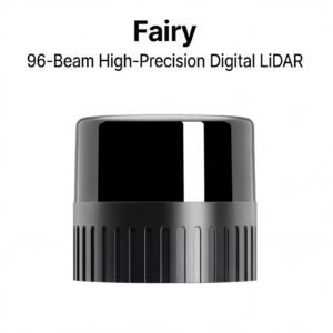
Mechanical vs. solid-state is the first decision point. Mechanical LiDAR units use rotating assemblies to generate a true 360-degree field of view — a non-negotiable advantage when flying through tight valleys or steep ravines where obstacles appear from every angle simultaneously. Solid-state sensors offer a more compact, durable form factor with no moving parts, making them attractive for high-vibration platforms. In practice, complex terrain mapping at scale still favors mechanical designs: the wider FOV captures richer spatial context, supports real-time obstacle avoidance, and produces denser point clouds across irregular surfaces. For environments where sensor resilience is equally critical — think coastal salt spray or desert dust — IP67-rated mechanical units bridge the gap between raw performance and field durability.
Point density and range specifications matter too, but they’re meaningless without adequate technical support behind the hardware. Global robotics deployments routinely encounter calibration drift, firmware edge cases, and integration conflicts that require responsive, knowledgeable support teams — not a generic ticketing system with multi-week response windows. Engineering leads should treat post-sale support as a procurement criterion, not an afterthought.
Pricing structure shapes R&D velocity more than most teams expect. Distributor markups and intermediary layers can inflate sensor costs by 20–40%, compressing budgets that should go toward integration, testing, and iteration. LidarStar provides direct factory-to-customer pricing on 3D LiDAR sensors, eliminating those intermediary layers for robotics R&D teams that need to scale without budget friction.
A practical sensor selection checklist for complex terrain missions:
- FOV coverage: 360-degree horizontal for obstacle-dense environments
- Weather resilience: IP67 rating minimum for outdoor industrial use
- Range accuracy: 2–5 cm vertical precision under real flight conditions
- Support tier: Dedicated engineering contact, not just documentation
- Pricing model: Direct or factory-authorized to protect R&D budget
These criteria set the foundation for the broader conclusions that engineering leads need when making a final case for UAV LiDAR adoption.
The Bottom Line: Key Takeaways for Engineering Leads
UAV LiDAR isn’t simply a better surveying tool — it’s the only tool capable of delivering reliable, high-accuracy terrain data where traditional methods fail.
For mapping complex topography, there is no functional substitute for LiDAR’s canopy-penetration capability. Photogrammetry and ground-based total stations can’t reconstruct a true Digital Terrain Model under dense forest cover. LiDAR pulses reach the soil layer even through multi-story canopy, producing bare-earth models that reflect actual ground geometry rather than a surface approximation. When your deliverable is a DTM — not a DSM — LiDAR is the only viable path.
Operational efficiency is the second argument engineering leads consistently underestimate until they’ve run the numbers. UAV deployment reduces field time by roughly 80% compared to traditional ground surveys, and it removes crews from hazardous terrain entirely. Steep ravines, unstable slopes, and post-storm debris fields that would ground a ground team for safety reasons become routine collection zones for a UAV platform.
Vertical accuracy remains the technical benchmark most clients push back on first. In practice, properly calibrated UAV LiDAR systems achieve 2–5 cm vertical accuracy even on near-vertical cliff faces — performance that satisfies infrastructure, mining, and geotechnical standards. For mission-critical workflows, triple-certified hardware ensures that point cloud data holds up to the rigorous validation requirements of industrial automation and autonomous system development.
Procurement has also changed. Direct procurement models are eliminating the reseller markup chain, making high-end 3D LiDAR accessible to mid-market industrial firms that previously couldn’t justify the capital outlay. As commercial UAV applications continue expanding beyond surveying into forestry, utilities, and infrastructure inspection, the cost-per-mission economics only improve.
If these takeaways raise specific questions — about sensor selection, operational constraints, or performance in challenging conditions — the next section addresses the most common ones engineering teams bring to procurement conversations.
Frequently Asked Questions About UAV LiDAR Mapping
UAV LiDAR raises practical questions before procurement — here are the answers engineering leads ask most often.
Can LiDAR penetrate water for coastal or riverine mapping?
LiDAR has real limits at the water boundary. Standard near-infrared laser pulses used in most UAV systems reflect off the water surface rather than penetrating it, making subsurface bathymetric data inaccessible. Specialized green-wavelength bathymetric LiDAR can penetrate shallow, clear water to depths of roughly 30–50 feet, but these systems are purpose-built and significantly more expensive. For coastal tidal zones and exposed intertidal flats, standard LiDAR still delivers excellent above-waterline terrain data.
How does LiDAR differ from photogrammetry for drone surveys?
The core distinction is active versus passive sensing. Photogrammetry relies on ambient light and visible texture to reconstruct surfaces — it fails under dense vegetation and struggles in low-contrast environments. LiDAR fires its own laser pulses, penetrating canopy gaps to reach the ground beneath. According to Wingtra’s sensor comparison guide, LiDAR consistently outperforms photogrammetry wherever vegetation, shadows, or featureless surfaces are involved.
Should I choose a 2D or 3D LiDAR sensor?
The answer depends on mission geometry. 2D sensors scan a single plane and suit corridor mapping, while 3D sensors build full volumetric point clouds suited to complex terrain. For topographic UAV work, 3D is almost always the right choice. The LidarStar covers both categories with options scaled to payload constraints.
Does UAV LiDAR work at night or in low-light conditions?
Yes — and this is one of LiDAR’s most underappreciated advantages. As noted by SPH Engineering, LiDAR is an active sensor that generates its own light source, meaning it operates in total darkness or deeply shadowed corridors without any loss of accuracy. For infrastructure inspection or post-disaster response where daylight windows are limited, this capability is operationally significant. Poor weather performance, however, is a separate consideration — heavy rain and dense fog can scatter pulses, which is worth reviewing before deploying in adverse conditions.
Ready to match the right sensor to your terrain challenge? Contact the LidarStar team for a procurement consultation tailored to your mission profile.