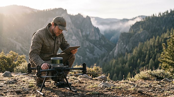
Rugged terrain doesn’t just challenge traditional surveying methods — it defeats them entirely, exposing critical failure points that no amount of field experience or equipment investment can overcome. Line-of-sight limitations are the most immediate constraint for ground crews. Total Stations and conventional GPS-based workflows require unobstructed sightlines between instrument and target. On steep mountain corridors, […]