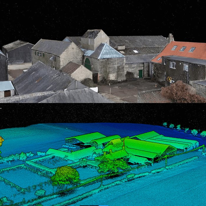
Traditional ground surveying has a timeline problem. Crews, equipment, and access constraints can stretch a single site assessment into days or weeks — a pace that modern infrastructure, forestry, and construction projects simply can’t afford. Something had to change, and it did. The answer came from above. A UAV LiDAR system combines the mobility of […]