When evaluating ppk drone mapping, it’s important to understand the key differences. A rangefinder measures distance. A mapping-grade UAV LiDAR system captures a georeferenced, three-dimensional model of the world — and that distinction determines whether your data is usable or not.
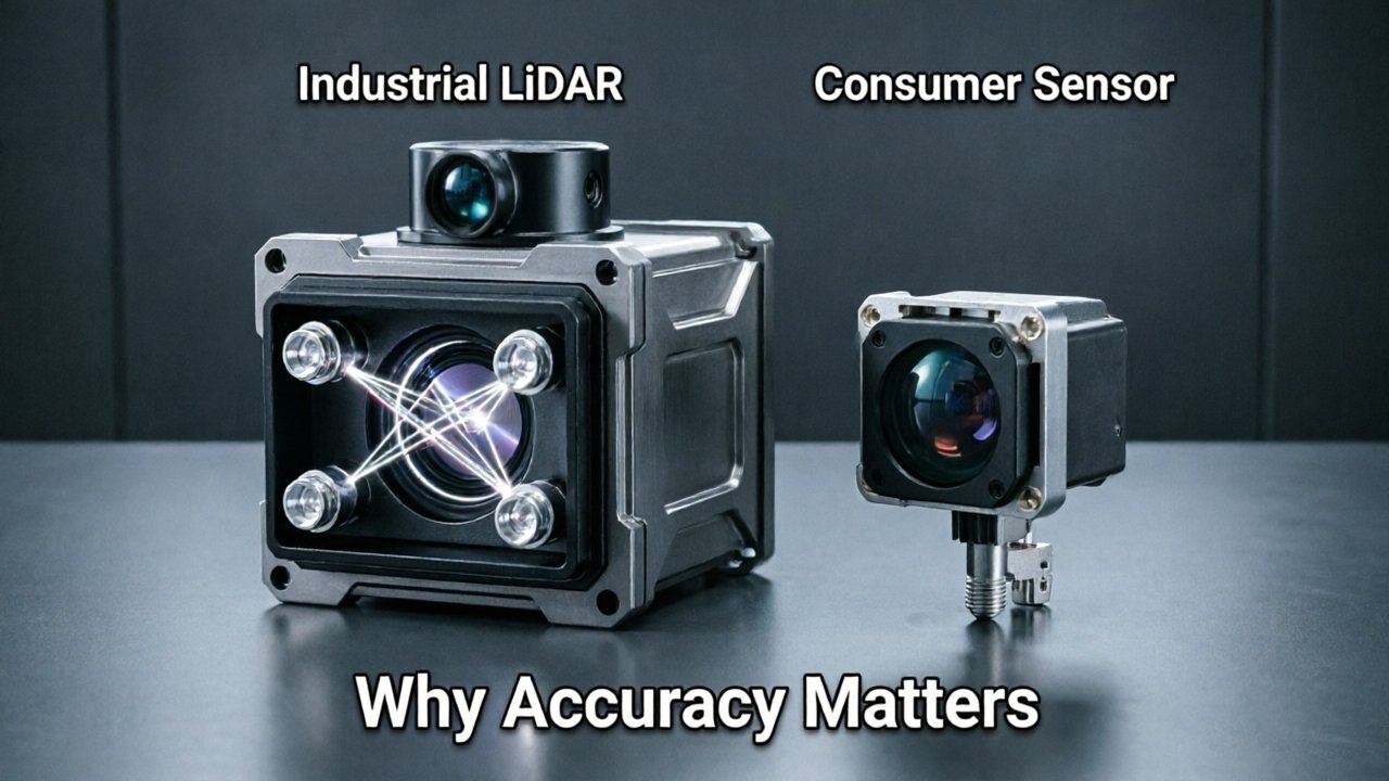
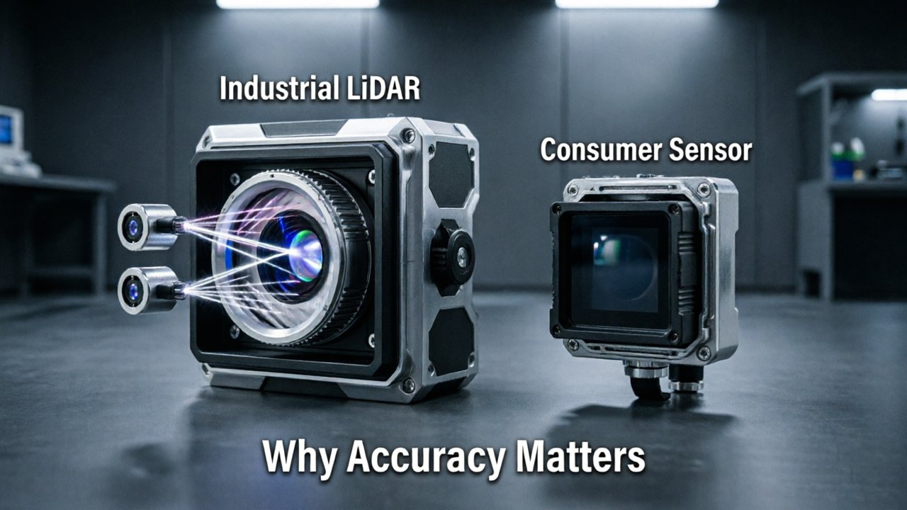
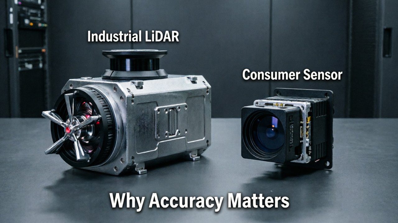
Consumer drone sensors are largely engineered for obstacle avoidance and flight safety, not rigorous data collection. The onboard depth sensors in off-the-shelf drones detect objects close enough to trigger a braking response — a fundamentally different task than producing a point cloud accurate enough to design infrastructure, calculate stockpile volumes, or certify a construction site. When a product is marketed as having “LiDAR,” that label alone tells you almost nothing about its suitability for industrial mapping.
Absolute vs. relative accuracy is where the gap becomes impossible to ignore. Relative accuracy describes how consistently a sensor captures the shape of an object in relation to itself — a consumer sensor might faithfully reproduce the slope of a roof. Absolute accuracy, however, anchors that shape to real-world coordinates. For industrial applications like corridor surveys, utility mapping, or mine site modeling, absolute accuracy is the only metric that matters. According to the ASPRS, industrial drone LiDAR systems achieve absolute vertical accuracy within 2–5 centimeters, whereas consumer-grade sensors often fluctuate by decimeters — an order-of-magnitude difference that makes consumer data unreliable for engineering decisions.
Noise compounds the problem. Lower-end sensors produce spurious returns — phantom points scattered throughout the point cloud that require extensive filtering, often destroying fine detail in the process. Survey-grade systems pair high-pulse-rate lasers with workflows like PPK drone mapping, which corrects GPS positional errors post-flight to deliver consistent, clean data. As explained in this breakdown of how GPS errors affect point cloud quality, even a geometrically perfect laser scan becomes unusable if positional uncertainty isn’t resolved at the sensor level.
Accurate mapping, then, is far more than pointing a laser downward — and the component that makes or breaks the entire system is something most people overlook: the inertial measurement unit.
The Role of Tactical-Grade IMUs in UAV LiDAR Systems
A UAV LiDAR system is only as accurate as the orientation data feeding it — without precise pitch, roll, and yaw measurements, every laser pulse becomes spatially meaningless.
The laser pulse itself carries no inherent position. When a pulse fires and returns, the system must know exactly where the sensor was pointing at that precise millisecond. Even a fraction of a degree of angular error translates to significant horizontal displacement on the ground below. At a flight altitude of 100 meters, an orientation error of just 0.1° produces roughly 17 centimeters of positional error in the resulting point cloud. Multiply that across millions of points, and the entire model degrades.
“The primary differentiator in professional mapping is not the laser itself, but the integration of a tactical-grade IMU to account for the drone’s pitch, roll, and yaw.” — GIM International
Consumer drones rely on MEMS-based IMUs, which are compact, lightweight, and affordable — but not built for centimeter-level mapping. These microelectromechanical sensors are adequate for stable flight but introduce significant angular noise. Tactical-grade IMUs, by contrast, use fiber-optic or ring-laser gyroscope technology that delivers angular accuracy in the range of 0.005° or better. That difference is not marginal; it’s the line between a usable survey dataset and a visually impressive but metrically unreliable one.
Drift compounds the problem over long flight paths. Even small orientation errors accumulate over time, causing the point cloud to warp progressively across a survey corridor. Tactical-grade units minimize this drift through higher-frequency updates — often at 200 Hz or more — ensuring the system captures rapid attitude changes that consumer-grade hardware simply misses. For high-speed fixed-wing UAVs covering large corridors, this update rate is non-negotiable.
Understanding orientation accuracy is only part of the picture, though. How the sensor handles the laser pulse itself — specifically, what happens when that pulse strikes multiple surfaces before returning — introduces another critical capability entirely.
Multi-Return Capability: Seeing Through the Canopy
Industrial drone LiDAR doesn’t just bounce a laser off the nearest surface — it reads every layer of a scene, from the treetop down to bare earth.
Each laser pulse fired by a survey-grade LiDAR scanner can interact with multiple surfaces before its energy is fully absorbed. First returns capture the uppermost features — the tops of tree canopies, rooftop edges, overhead wires. Middle returns register intermediate layers, such as branches and understory vegetation. The last return is the critical one: it represents the final reflection before the pulse exhausts itself, which in a vegetated environment almost always means the actual ground surface.
Consumer sensors typically capture only a single return per pulse — whichever reflection is strongest. In a forest or orchard setting, that single return is almost always the canopy top, leaving the ground completely invisible. The resulting point cloud looks like a model of the vegetation, not the terrain beneath it. For any project that requires a Digital Terrain Model (DTM) — a bare-earth elevation surface stripped of all above-ground features — this is a fundamental failure, not a minor limitation.
Survey-grade sensors, by contrast, record multiple returns per pulse simultaneously. As the USGS LiDAR Base Specification confirms, this multi-return capability allows industrial LiDAR to penetrate dense vegetation canopies and map the true ground surface beneath. The practical consequence is significant: survey teams can fly a single mission and computationally filter the last-return data to extract a clean DTM, without physically clearing the land first. That eliminates days of ground-based preparation work on corridor or forestry surveys.
This single capability — the ability to disaggregate a scene vertically, pulse by pulse — represents a meaningful dividing line between consumer hardware and professional mapping systems. And it sets up a broader question worth examining next: beyond penetrating canopies, how does raw point density separate industrial sensors from their consumer counterparts when inspecting critical infrastructure?
Point Density and Pulse Rates for Infrastructure Inspection
Point density separates a usable infrastructure dataset from a genuinely actionable one — and the gap between consumer and industrial sensors is far wider than most operators expect.
Consumer drone LiDAR sensors typically operate in the range of 100,000 to 300,000 pulses per second, while industrial-grade systems push well beyond 1,000,000 points per second, according to IEEE Xplore Digital Library. That difference isn’t just a spec-sheet number — it directly determines whether a sensor can resolve a hairline crack in a bridge deck or trace a 3/8-inch power line strung against a cluttered background.
Why density matters for thin-object detection. Structural cracks measured in millimeters and utility wires measured in fractions of an inch require a pulse rate dense enough that at least one return strikes the target geometry at typical flight altitudes. At lower pulse rates, those features simply fall between returns and disappear from the dataset entirely. For power line inspection or façade crack analysis, missing a single feature isn’t an inconvenience — it’s a liability.
The flight speed equation. Point density on the ground isn’t determined by pulse rate alone; it’s the result of pulse rate divided by the area covered per second. Fly faster and that figure drops. Industrial projects often demand slower flight speeds at lower altitudes to maintain the point density thresholds required for regulatory-grade deliverables. Consumer sensors compound this problem — their lower pulse rates mean operators must fly slower still, reducing coverage efficiency on large infrastructure corridors.
Digital twin fidelity hinges on this. A digital twin of a transmission tower or pipeline only performs its monitoring function if the underlying point cloud captures geometry with enough resolution to detect change over time. Sparse clouds produce ambiguous models; high-density clouds produce geometry accurate enough to support structural analysis and predictive maintenance workflows. As explored on the Flyability blog, industrial deployments increasingly treat point density as a non-negotiable threshold, not a preference.
This question of sensor capability connects naturally to a broader strategic decision teams face before every mission: whether LiDAR is the right tool at all, or whether photogrammetry — or a combination of both — better serves the objective.
LiDAR vs. Photogrammetry: Choosing the Right Tool for the Mission
No single sensor technology wins every mission — the smartest industrial teams know when to deploy each one and why the choice matters.
Photogrammetry earns its place on flat, open terrain with consistent lighting and minimal vegetation. Corridor mapping of agricultural fields, as-built documentation of cleared construction sites, and surface modeling of paved lots are all scenarios where photogrammetry delivers compelling results at lower cost. The math is straightforward: overlapping RGB images, stitched by software, produce detailed orthomosaics and Digital Surface Models (DSMs). However, as USGS research confirms, photogrammetry-based workflows only capture the top of any surface — canopy cover, shrub layers, and complex structures are opaque walls to a camera.
LiDAR dominates in every condition where photogrammetry struggles. Low-light environments, dense forest canopies, nighttime infrastructure inspections, and sites with deep shadows all defeat image-based methods. Survey-grade LiDAR accuracy persists regardless of lighting because the sensor generates its own energy rather than relying on reflected sunlight. For industrial applications — think transmission line corridors cutting through forested terrain, or mining benches with heavy dust — LiDAR’s active sensing is non-negotiable.
Processing time is another real differentiator. Photogrammetry pipelines are compute-intensive; generating a dense point cloud from thousands of overlapping images can take hours even on high-end workstations. LiDAR point clouds, by contrast, are captured directly as georeferenced 3D data, compressing post-flight processing significantly and getting actionable deliverables to engineering teams faster.
> Bold callout: The most capable industrial programs don’t choose between the two — they fuse LiDAR and photogrammetry simultaneously, combining centimeter-accurate geometry with photorealistic color texture in a single flight.
As Propeller Aero explains, this hybrid approach is increasingly standard on large-scale infrastructure projects where neither dataset alone satisfies every deliverable requirement. The geometry comes from LiDAR; the visual context comes from the camera — together, they create a richer, more defensible record than either technology produces independently.
Getting that fused dataset to actually land at centimeter-level accuracy, though, depends heavily on how GNSS positioning is handled in the field — which is where PPK and RTK workflows become the deciding factor.
The Workflow Advantage: PPK and RTK Integration
Survey-grade precision isn’t just about the sensor — it’s about the entire data pipeline that anchors every point in a 3D cloud to a verifiable global coordinate system.
RTK (Real-Time Kinematic) positioning corrects GNSS data on the fly by streaming corrections from a base station to the drone during flight. It’s fast and convenient, and for many commercial applications it delivers more than adequate results. However, RTK has a critical vulnerability: if the radio link between the base station and drone drops even momentarily, those corrections are lost, and positional drift creeps into the dataset in ways that aren’t always obvious until post-processing reveals inconsistencies.
That’s where PPK (Post-Processed Kinematic) workflows offer a meaningful upgrade for industrial-grade mapping. Rather than applying corrections in real time, PPK stores raw GNSS observations onboard the drone and matches them against base station logs after the flight. The correction process runs against a complete, uninterrupted dataset, eliminating the dropped-connection problem entirely. According to ASPRS, professional mapping requires survey-grade precision where every point in a 3D cloud is georeferenced to a global coordinate system — and PPK is a primary mechanism for achieving that standard reliably.
Timestamp synchronization is the technical detail that makes or breaks this entire workflow. When multi-return lidar sensors fire pulses at rates exceeding hundreds of thousands per second, each return must be paired with a precise GNSS timestamp accurate to the microsecond. Even a small synchronization error propagates across millions of points, introducing systemic positional offsets that no amount of post-processing can fully correct.
Base station placement compounds all of this. A base station positioned over a known benchmark — ideally within 20 kilometers of the survey area — provides the reference frame that tightens PPK solutions down to centimeter-level accuracy. Move the base station too far, and atmospheric and ionospheric corrections degrade.
The net result is a dataset where point accuracy is traceable, repeatable, and defensible — the exact qualities that industrial applications demand before any real-world decision gets made.
Industrial LiDAR in Action: Real-World Use Cases
Survey-grade LiDAR doesn’t just outperform consumer sensors on spec sheets — it delivers measurable advantages across the most demanding real-world applications in industry today.
The sensor’s value becomes clearest when you examine what it enables field teams to actually accomplish.
- Power line and utility corridor inspection. Transmission infrastructure runs through dense vegetation, variable terrain, and weather-stressed environments that consumer sensors simply can’t resolve accurately. Survey-grade LiDAR’s multi-return capability penetrates tree canopy to map conductors, towers, and encroaching vegetation simultaneously — and as IEEE Xplore research confirms, industrial sensors provide the resolution needed to identify thin wires or structural cracks that consumer-level distance modules would miss entirely. Teams can flag clearance violations and schedule targeted maintenance rather than blanket shutdowns.
- Topographic surveying for construction site preparation. Before a single machine breaks ground, civil engineers need verified elevation data at centimeter-level accuracy. Survey-grade LiDAR integrated with PPK workflows — as covered in the previous section — produces terrain models that hold up against total station checks, allowing earthwork volume calculations and drainage planning to proceed without costly field corrections later.
- Forestry inventory and biomass calculation. Dense canopy is where consumer sensors fail hardest. Industrial LiDAR’s high point density and multi-return processing resolve individual tree stems, canopy height, and understory structure that photogrammetry or low-grade sensors render as undifferentiated noise. Foresters use this data to calculate standing timber volume and carbon stock with the statistical confidence that regulatory and commercial contracts demand.
- Autonomous vehicle sensor calibration and environment mapping. HD maps for autonomous systems require geometric accuracy that leaves no room for sensor drift or point-cloud noise. Survey-grade LiDAR generates the dense, georeferenced reference environments that AV development teams use to validate onboard perception systems against ground truth.
Each of these applications shares a common thread: the cost of failure — missed defects, inaccurate volumes, flawed inventory, unsafe calibration data — far exceeds the price premium of industrial-grade hardware. When you stack these use cases together, the procurement decision becomes less about budget and more about understanding exactly which sensor specifications drive outcomes. That’s precisely what the key takeaways ahead will break down.
The Bottom Line: Key Takeaways for LiDAR Procurement
Survey-grade LiDAR procurement decisions hinge on four technical pillars — and overlooking any one of them can quietly erode the accuracy of an entire mapping project.
As industry professionals increasingly utilize drone LiDAR to bypass the limitations of photogrammetry in complex environments, the pressure to make informed sensor choices has never been higher. The difference between a reliable industrial sensor and an underpowered consumer module isn’t always obvious in a spec sheet comparison — but it becomes unmistakable in the field.
The sensor is only as precise as its IMU. Accuracy in airborne LiDAR isn’t determined by the laser alone. The tightly coupled IMU-LiDAR integration governs how faithfully each pulse is translated into a georeferenced 3D point. A high-frequency laser paired with a low-grade IMU will still produce drift, angular error, and misaligned scan lines — especially during banking maneuvers or turbulent flight.
Multi-return capability is non-negotiable for vegetated terrain. Consumer sensors typically capture a single return per pulse, which means canopy surfaces absorb the data and ground points disappear. Industrial sensors that record multiple returns per pulse penetrate vegetation layers and reconstruct the bare-earth surface beneath — a capability that fundamentally changes what’s possible in forested or agricultural mapping applications.
Point density separates industrial sensors from consumer modules. In practice, industrial-grade LiDAR systems deliver roughly 10 times the point density of consumer-level alternatives, according to sensor performance benchmarks. That density isn’t excess — it’s the resolution needed to detect subtle grade changes, structural deformations, and terrain features that low-density clouds simply miss.
PPK workflows are the georeferencing standard for any deliverable that matters. Without post-processed kinematic correction, even a premium sensor is operating without a reliable coordinate anchor. PPK ties every point in the cloud to a verifiable ground truth, making the data defensible for engineering, legal, and infrastructure applications.
Choosing the right sensor is only part of the equation — pairing it with a platform and data pipeline designed for survey-grade output is what transforms hardware investment into reliable results. That’s where procurement strategy and vendor partnerships start to matter just as much as specifications.
Optimizing Your R&D Budget with Direct-to-Factory LiDAR
The central trade-off in industrial LiDAR procurement is straightforward: precision costs money, but the wrong sensor costs far more in rework, liability, and failed deliverables.
As the LiDAR drone market continues its rapid expansion, procurement teams face a growing catalog of sensors spanning a wide performance and price spectrum. Consumer-grade options are tempting on paper — lower upfront cost, faster delivery — but the hidden expenses compound quickly. Recalibration cycles, point cloud post-processing to correct systematic error, and repeat site visits erode any initial savings. Survey-grade hardware, by contrast, delivers reliable accuracy from the first flight, protecting both the project timeline and the client relationship.
LidarStar removes the distributor markups that have historically pushed precision sensors out of reach for smaller R&D teams and integrators. By sourcing direct-to-factory, LidarStar makes triple-certified industrial sensors accessible at price points that realistically compete with mid-tier alternatives — without the compromises in ranging accuracy, multi-return capability, or environmental resilience that those alternatives require. The result is a cleaner procurement decision: you get industrial-grade performance without engineering your budget around distributor margins.
Sensor selection is rarely straightforward when UAV platform, payload weight, and mission profile all intersect. One practical approach is to use LidarStar’s technical consulting service before committing to a configuration. Whether the application is corridor mapping, volumetric stockpile analysis, or dense urban modeling, matching the sensor’s field of view, point density, and IMU integration to the specific airframe prevents costly incompatibilities downstream.
Frequently Asked Questions
Are LidarStar sensors certified for commercial operations?
Yes. LidarStar provides triple-certified hardware, covering the quality, safety, and performance standards required for professional and industrial deployments.
What kind of integration support is available?
LidarStar offers dedicated technical consulting to assist with sensor-to-UAV integration, including guidance on mounting, triggering, and data synchronization across common airframe platforms.
Can I use these sensors on a custom-built UAV?
In practice, yes — provided the airframe meets payload and vibration specifications. Technical consultation helps confirm compatibility before purchase.
Is there a catalog to review available sensor models? Full specifications and configurations are available directly through LidarStar’s product catalog, where you can compare models by range, accuracy class, and certification level.
Choosing the right sensor architecture for industrial mapping isn’t a one-time decision — it shapes every deliverable your team produces. Explore the LidarStar catalog to find a survey-grade sensor matched to your platform, budget, and precision requirements.