
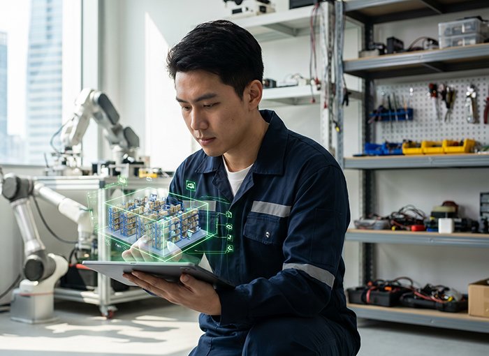
Robots don’t just need to see their environment anymore — they need to understand it. That distinction is reshaping every layer of autonomous robotics, from warehouse floor navigation to surgical-assist platforms, and it’s driving one of the most consequential hardware and software convergences the industry has seen in a decade.
For years, obstacle avoidance was considered the finish line. A robot that could stop before hitting something was a success. But modern deployments demand far more: intent prediction, dynamic object classification, and real-time spatial reasoning that persists across shifting environments. This is the difference between a sensor that measures distance and one that constructs meaning.
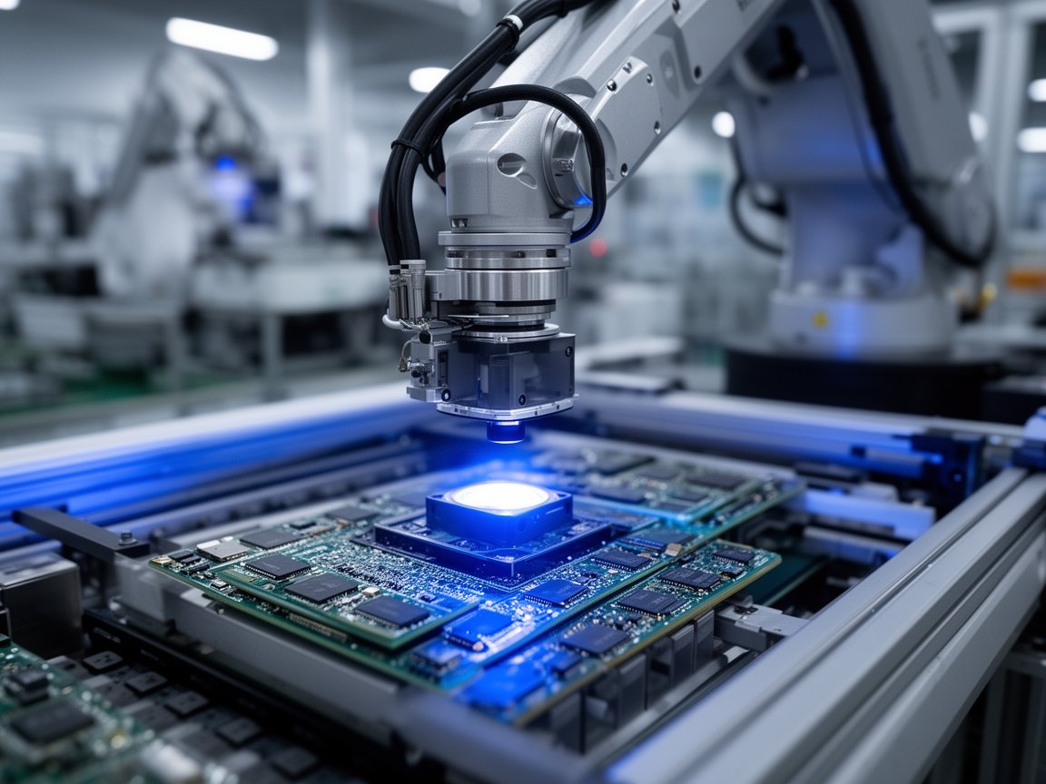
The global Robotics LiDAR market reflects exactly this appetite — projected to grow at a CAGR of 22.1% through 2030, according to Grand View Research.
At the core of this shift is simultaneous localization and mapping (SLAM) — the process through which a robot builds and continuously updates a map of its surroundings while tracking its own position within it. Modern LiDAR-powered SLAM systems can achieve sub-centimeter precision in real time, turning raw point cloud data into navigable, semantically rich spatial models.
What’s accelerating this evolution is the emergence of AI for Science (AI for Science) frameworks applied directly to sensor pipelines. Rather than simply processing LiDAR returns, these systems use machine learning to infer what an object is, how it’s likely to move, and why it matters to the robot’s current task.
True robot perception isn’t about collecting data — it’s about extracting decisions from that data in milliseconds.
That capability gap between basic sensing and genuine spatial intelligence is exactly where 2D and 3D LiDAR systems diverge most sharply — and that choice turns out to be far more consequential than most teams expect.
2D vs. 3D LiDAR: Choosing the Right Dimension for Your Application
Understanding the difference between 2D and 3D lidar goes well beyond a spec sheet comparison — it’s a fundamental decision that shapes what a robot can actually do in the real world. Both technologies have legitimate roles, but deploying the wrong one creates costly blind spots, literally and operationally.
| Sensor Type | Best Use Case | Key Limitation |
|---|---|---|
| 2D LiDAR | Floor-level safety zones, simple AGV path following on flat surfaces | No vertical awareness; misses overhanging or elevated obstacles |
| 3D Mechanical LiDAR | Complex indoor/outdoor navigation, dynamic obstacle classification | Higher cost, moving parts susceptible to wear |
| 3D Solid-State LiDAR | High-volume deployments, cost-sensitive platforms, compact form factors | Narrower field of view compared to mechanical variants |
| Multi-Sensor Fusion | Human-centric environments, manipulation tasks, humanoid robots | Integration complexity, compute overhead |
2D LiDAR still holds real value for straightforward applications. In a controlled warehouse running fixed-route AGVs on polished concrete, a single-plane scanner reliably detects pallets, forklifts, and barriers at floor level. It’s affordable, power-efficient, and well-understood. For those specific conditions, it’s hard to argue against it.
The problems surface the moment environments become less predictable. A 2D system scans one horizontal plane — typically at knee height. It will never detect a child bending down, a shopping cart at torso height, or a shelf bracket jutting into an aisle. This is the blind spot problem, and it’s the primary reason 2D systems struggle in human-centric environments like hospitals, retail floors, and public spaces.
3D LiDAR addresses this directly by capturing full vertical spatial data, enabling robots to classify dynamic obstacles by shape, size, and movement pattern rather than simply detecting their presence. That capability gap is widening as AI inference layers improve obstacle recognition speed and accuracy.
Bold callout: Deploying a 2D sensor in a human-shared environment isn’t a cost saving — it’s a liability transfer.
On cost, the mechanical vs. solid-state debate is real. Mechanical 3D LiDAR delivers wide fields of view but carries higher price points and moving-part reliability concerns. Solid-state designs are closing the performance gap rapidly, as explored in emerging sensor packaging trends. According to Sensors Journal (MDPI), multi-sensor fusion combining LiDAR with stereo cameras and IMUs can reduce localization errors to less than 1 centimeter — a figure that makes the incremental cost of 3D hardware look modest against the precision gains.
Choosing the right sensor tier sets the foundation for everything that follows — including how effectively a robot can build and maintain an accurate map of its surroundings in real time.
The SLAM Revolution: Simultaneous Localization and Mapping in 2025
Choosing the right LiDAR dimension, as covered in the previous section, is only half the equation. The real intelligence emerges when that raw sensor data is processed by algorithms sophisticated enough to build and navigate a world in real time. That’s where SLAM has become the backbone of modern Robotics LiDAR systems — and in 2025, it looks very different from where it started.
Discover: How SLAM Handles High-Density Point Clouds
Modern SLAM algorithms have evolved far beyond matching simple 2D laser scans. Today’s systems process millions of 3D points per second, extracting geometric features, surface normals, and semantic cues simultaneously. As research into autonomous mobile robot navigation highlights, AI-driven perception layers now allow robots to not just map space but actively classify what’s in it — a wall, a pedestrian, a pallet — all within a single processing loop.
- Sparse-to-dense point cloud fusion for richer environmental models
- Feature-based loop closure detection to correct long-term drift
- Semantic labeling integrated directly into map layers
Apply: IMU Integration for Sub-Centimeter Accuracy
A LiDAR scan alone can’t compensate for the micro-movements that occur between scan cycles. Inertial Measurement Units (IMUs) bridge that gap by feeding continuous motion data — acceleration, angular velocity — into the SLAM pipeline. This tight sensor fusion, explored further in how multi-sensor systems track motion, is what enables robots to maintain reliable positioning even on uneven terrain or during rapid directional changes.
- LiDAR-IMU fusion reduces pose estimation error to under 2 cm
- Predictive motion modeling handles temporary sensor occlusions
- Calibration routines now run autonomously during operation
Manage: Real-Time Mapping Across Unstructured Environments
Structured warehouses and unpredictable outdoor sidewalks demand fundamentally different SLAM configurations. Indoor environments offer stable geometry; outdoor spaces introduce dynamic obstacles, weather interference, and inconsistent lighting. That’s precisely where SLAM changes the game — continuously updating maps rather than relying on a static pre-built model.
- Adaptive resolution mapping scales detail to available compute
- Dynamic object filtering separates moving elements from the static map
- Multi-session map merging enables fleet-wide spatial awareness
The algorithm is only as intelligent as the data feeding it — which raises an important question about how AI is beginning to reshape perception science itself, pushing SLAM well beyond its traditional boundaries.
AI for Science (AI for Science): The New Frontier of Sensor Perception
The SLAM advancements discussed in the previous section depend on more than clever algorithms — they depend on a deeper scientific understanding of raw sensor data itself. That’s exactly where AI for Science (AI for Science) enters the picture, reshaping how robots don’t just process LiDAR point clouds, but learn from them at a fundamental level.
AI for Science applies machine learning to accelerate scientific discovery — and in robotics, that means building perception models that go beyond pattern matching. Instead of simply flagging obstacles, AI for Science-driven systems develop an analytical understanding of spatial relationships, surface properties, and environmental physics from sensor data. The result is a robot that perceives its surroundings more like a scientist than a scanner.
“AI for Science has entered an accelerated emergence phase for industrial applications — and autonomous robotics perception is one of the clearest beneficiaries of that momentum.” — [DeepTech / AI for Science Global Outlook, 2023]
The 2023–2025 window has proven pivotal. According to the AI for Science Global Outlook, industrial AI applications — including sensor modeling for autonomous systems — are scaling faster than most industry forecasts anticipated. Robots deployed in warehouses, manufacturing floors, and logistics hubs are now running perception models trained on scientific-grade datasets, not just annotated video.
The democratization of these tools is just as significant. Platforms like Baidu AI Studio have lowered the barrier for robotics teams to access pre-trained perception models, fine-tune them on custom LiDAR datasets, and deploy them without massive in-house research budgets. This accessibility is redefining who can build sophisticated autonomous systems — from enterprise robotics firms to mid-market integrators.
“Democratized AI training platforms are collapsing the gap between research-grade perception and production-ready deployment.”
For teams exploring how LiDAR hardware architecture intersects with these AI training pipelines, next-generation sensing configurations are increasingly being designed with AI for Science compatibility in mind from the ground up.
As perception intelligence matures, one question becomes unavoidable: how durable is the hardware powering it? That tension between software sophistication and physical reliability leads directly into the next critical debate in autonomous robotics design.
Solid-State vs. Mechanical: The Durability Debate
The AI for Science-driven perception breakthroughs explored in the previous section ultimately depend on hardware that can survive the real world — and that’s where mechanical spinning sensors are increasingly showing their age.
Traditional rotary LiDAR units use motors, bearings, and rotating optical assemblies to sweep their laser arrays. In controlled lab conditions, this works reasonably well. In high-vibration industrial environments — think warehouse AGVs navigating uneven floors, or humanoid robots absorbing repeated impact loads — those moving parts degrade quickly. Mean time between failures (MTBF) drops sharply, maintenance windows multiply, and total cost of ownership climbs in ways that often aren’t obvious until deployment is already underway.
Solid-state and Flash LiDAR systems remove this mechanical vulnerability entirely. As documented by IEEE Xplore, eliminating moving parts measurably improves durability while simultaneously reducing electromagnetic interference — a critical advantage in factory automation where variable-frequency drives, servo motors, and dense wiring runs create significant EMI noise floors that can corrupt sensor data.
MEMS-based solid-state systems offer a compelling middle ground: micro-electromechanical mirrors steer laser pulses with no macroscopic rotating assemblies, achieving angular resolution that rivals mechanical designs while dramatically extending operational lifespan. Flash LiDAR goes further still, illuminating the entire field of view in a single pulse — no steering required whatsoever.
For teams evaluating high-channel-count options, 128-channel hybrid solid-state architectures represent an especially practical convergence: the point-cloud density of traditional spinning sensors packaged with solid-state reliability engineering.
Durable hardware isn’t a procurement afterthought — it’s the foundation that makes everything else in your autonomy stack worth building. As you consider which platform to commit to long-term, the strategic questions around channel count, environmental tolerance, and vendor support deserve equally serious attention — which is exactly what the next section addresses directly.
Future-Proofing Your Robotics Fleet: A Strategic FAQ
The shift from basic obstacle avoidance to full AI-driven 3D perception represents a genuine inflection point — and procurement decisions made today will define your fleet’s competitive position for years. Here are the questions operators and integrators are asking most.
How do I choose between 16, 32, and 128-channel sensors?
Channel count directly determines point cloud density and vertical resolution. A 16-channel unit suits simple navigation in structured environments, while 32-channel sensors balance cost and performance for most indoor AMR applications. For complex outdoor autonomy or humanoid robotics, 128-channel configurations deliver the resolution density that AI perception models actually need to classify objects accurately at range. Match channel count to your use case — overpaying for density you don’t need is just as costly as under-speccing.
Can 3D LiDAR operate reliably in extreme weather?
In practice, mechanical sensors degrade faster in rain, dust, and temperature extremes. Solid-state LiDAR, with no rotating components to wear or seal, is increasingly the preferred choice for harsh-environment deployments. As automotive-grade testing confirms, the absence of moving parts significantly reduces failure risk under vibration and moisture exposure.
What are the key integration tips for ROS?
Start with a vendor-supplied ROS2 driver and validate point cloud output in RViz before connecting any downstream AI pipeline. Use timestamp synchronization carefully — misaligned sensor data is a leading cause of SLAM drift. Containerizing your sensor nodes with Docker also simplifies fleet-wide updates significantly.
Is factory-direct procurement worth it for LiDAR hardware?
For fleet-scale orders, factory-direct purchasing removes distributor markups and accelerates firmware support cycles. Triple-certified hardware is becoming the baseline for global robotics exports, according to LidarStar Industry Standards, meaning compliance documentation is increasingly bundled at the source.
How fast is the LiDAR hardware market evolving?
According to research on autonomous mobile robot navigation, sensor fusion architectures are advancing rapidly — fleets deployed without upgrade pathways risk obsolescence within 18 to 24 months.
The bottom line: AI-driven 3D LiDAR is no longer a differentiator — it’s the baseline. Choose hardware that scales with your AI stack, not against it.
Key Takeaways
- Sparse-to-dense point cloud fusion for richer environmental models
- Feature-based loop closure detection to correct long-term drift
- Semantic labeling integrated directly into map layers
- LiDAR-IMU fusion reduces pose estimation error to under 2 cm
- Predictive motion modeling handles temporary sensor occlusions










