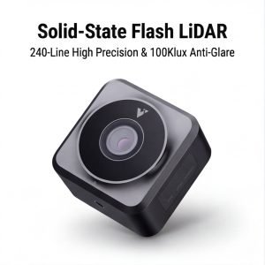
Drone LiDAR Solutions
Compact, lightweight, high-precision LiDAR sensors engineered for UAV platforms. From aerial mapping and agricultural inspection to search & rescue — LidarStar supplies the right drone LiDAR at direct factory pricing.
What Can Drone LiDAR Do?
LiDAR-equipped UAVs are transforming industries — delivering data accuracy that cameras and GPS alone cannot achieve.
Centimeter-level terrain models over vast areas — replacing weeks of ground survey in hours.
Crop health monitoring, field boundary mapping, and yield estimation at field scale.
Real-time progress monitoring and as-built 3D models of construction sites.
Power line, bridge, and pipeline inspection with sub-centimeter defect detection.
Under-canopy terrain scanning, tree density mapping, and biomass estimation.
High-density point cloud datasets for autonomous systems training and R&D.
APPLICATION SCENARIOS
Drone LiDAR in Action
Precise crop height, plant density, and canopy penetration for soil mapping.
Detect power line sag and structural corrosion across long corridors.
Centimeter-accurate DTM and DSM over open terrain and coastal zones.
Track construction progress with weekly or daily 3D as-built models. Compare against BIM design files to detect deviations.
Penetrate dense forest canopies to map ground-level terrain, measure tree height, and estimate total biomass.
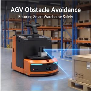
Deploy UAV LiDAR in low-visibility and night conditions to scan disaster zones and locate survivors efficiently.
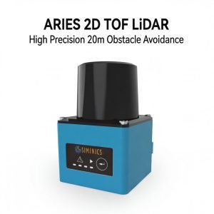
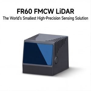
Top Drone LiDAR Sensors
Lightweight, high-accuracy UAV LiDAR sensors — engineered for aerial deployment.


Built for UAV Deployment
Every drone LiDAR sensor we supply is validated for real-world aerial operation — lightweight, accurate, and integration-ready.
Weight & Form Factor
- Payload weight from 265g to < 900g
- Compact mounting bracket included
- Compatible with DJI, Autel, FreeFly, custom frames
- Vibration-damped mounting solutions
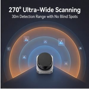
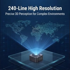
Detection Performance
- Point accuracy: ±1cm to ±2cm typical
- Max range: 70m – 260m depending on model
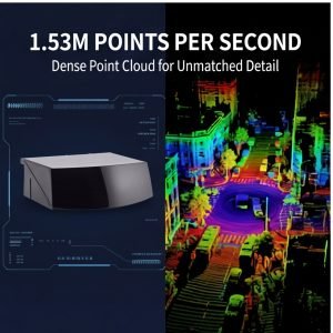
- Point rate: 100,000 – 300,000 pts/second
- Multi-return support for canopy penetration
Data Output & Connectivity
- Ethernet / UDP data streaming
- ROS / ROS2 driver packages included
- PCAP / CSV / LAS data formats
- Time sync: PPS + GPRMC or IEEE 1588
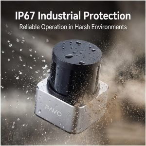
Environmental Rating
- IP54 to IP67 rated enclosures
- Operating temp: -20°C to +55°C
- Vibration & shock certified
- Rain, dust, and UV resistant housings
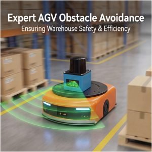
Your Trusted Drone LiDAR Procurement Partner
From solo researchers to enterprise UAV fleets — LidarStar delivers the right sensor, support, and price every time.
Weight-Optimized Selection
Our engineers will help you select the lightest possible LiDAR that meets your accuracy and range requirements — preserving precious UAV payload capacity.
Integration Support
Full ROS integration guides, wiring diagrams, and SDK samples. We support you from unboxing to first successful flight scan.
Factory-Direct Authenticity
Every unit is sourced directly from Livox, Hesai, RoboSense, and LSLiDAR — zero counterfeits, full manufacturer warranty backed by LidarStar.
24/7 Engineering Hotline
Direct access to our LiDAR-specialized engineers for configuration, calibration, and field troubleshooting on any drone deployment.
Anti-Static Drone Packaging
Sensors ship in ESD-safe, shock-resistant packaging engineered for fragile optics. Free global delivery with real-time tracking.
Export Compliance
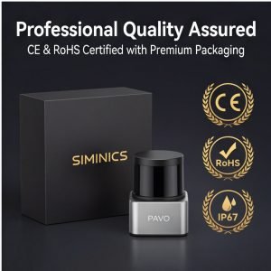
Full customs documentation, CE / RoHS / SGS certifications, and export control compliance for all major markets including US, EU, and Japan.
Ready to Take Your Survey to New Heights?
Tell us your drone platform, target accuracy, and application. Our engineers will recommend the best-fit LiDAR sensor and provide a custom quote within 24 hours — free of charge.

