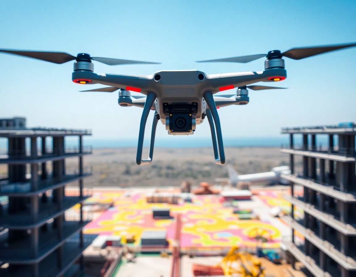
Drone / UAV
UAV-mounted LiDAR enables centimeter-precision 3D terrain mapping, building inspection, and GPS-denied navigation. Lightweight, low-power sensors are critical for drone payload budgets.

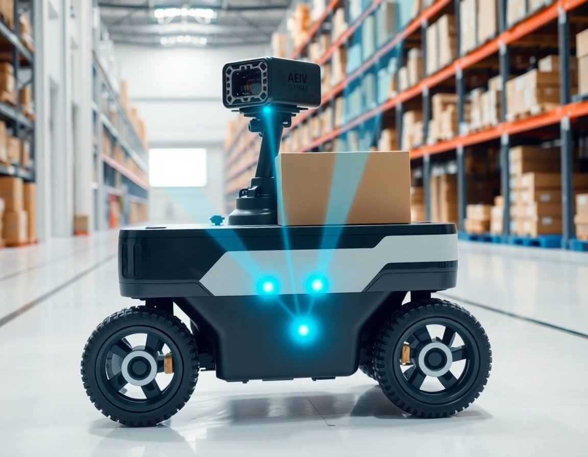
Industrial Robots
Collaborative and industrial robots use LiDAR for precise 3D workspace mapping, collision avoidance, and safety zone monitoring — enabling humans and machines to work safely side by side.
Drone / UAV
UAV-mounted LiDAR enables centimeter-precision 3D terrain mapping, building inspection, and GPS-denied navigation. Lightweight, low-power sensors are critical for drone payload budgets.
Industrial Robots
Collaborative and industrial robots use LiDAR for precise 3D workspace mapping, collision avoidance, and safety zone monitoring — enabling humans and machines to work safely side by side.
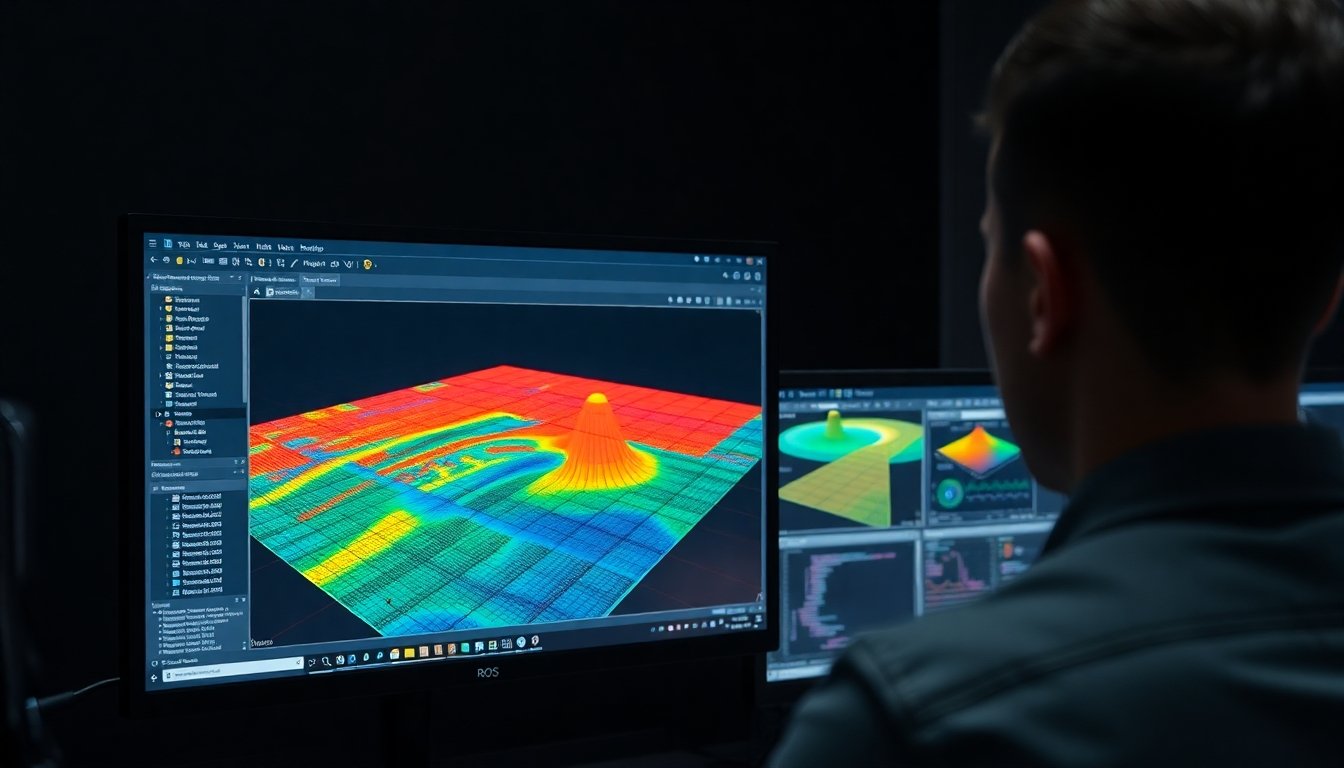
Seamless ROS & ROS2
Integration Out of the Box
Every LidarStar sensor ships with a complete ROS/ROS2 software package. Whether you're running gmapping for 2D SLAM, Cartographer for 3D mapping, or Nav2 for autonomous navigation — our sensors plug directly into your stack.
- Point cloud topic via ROS PointCloud2 message format
- Pre-built launch files for quick sensor bringup
- URDF / XACRO model files for robot integration
- Compatible with gmapping, cartographer, and RTAB-Map
- ROS2 Humble, Foxy, Iron driver support
- Sample RVIZ configuration files included
- IMU data fusion examples for MID360 and Airy
- Open-source GitHub repositories maintained by LidarStar