


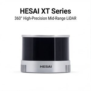
High-Precision 360° Mid-Range Lidar
Product Highlights
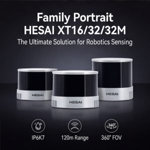
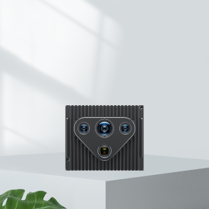
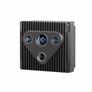
The Hesai XT Series is a family of high‑resolution, mid‑range LiDAR sensors designed for applications requiring close‑range accuracy and reliable 360° perception. The series includes XT16, XT32, and XT32M models, offering scalable line counts to meet diverse deployment needs.
Class 1 Eye‑Safe
Compliant with Class 1 laser safety standards, the XT Series is safe for use in public and human‑centric environments.
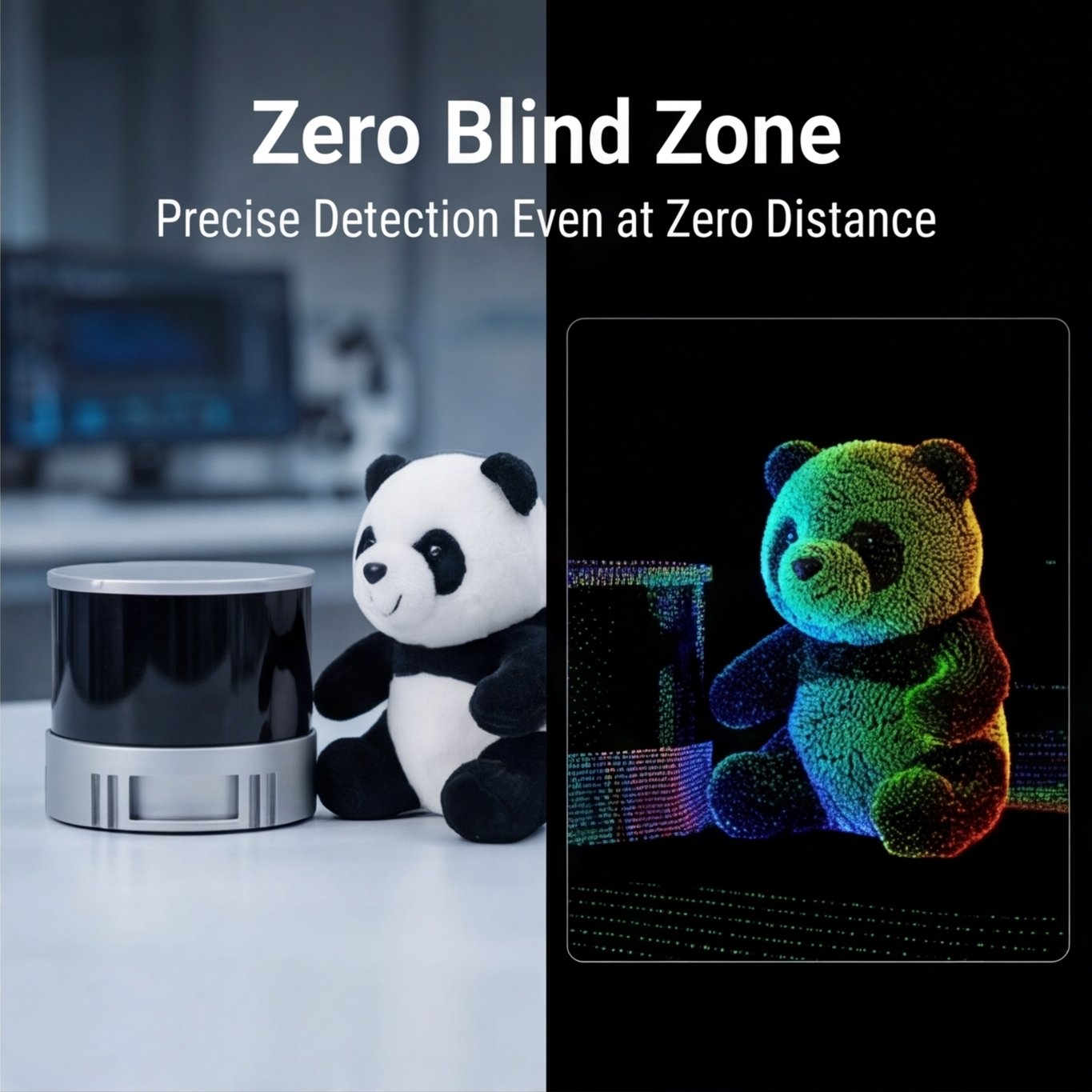
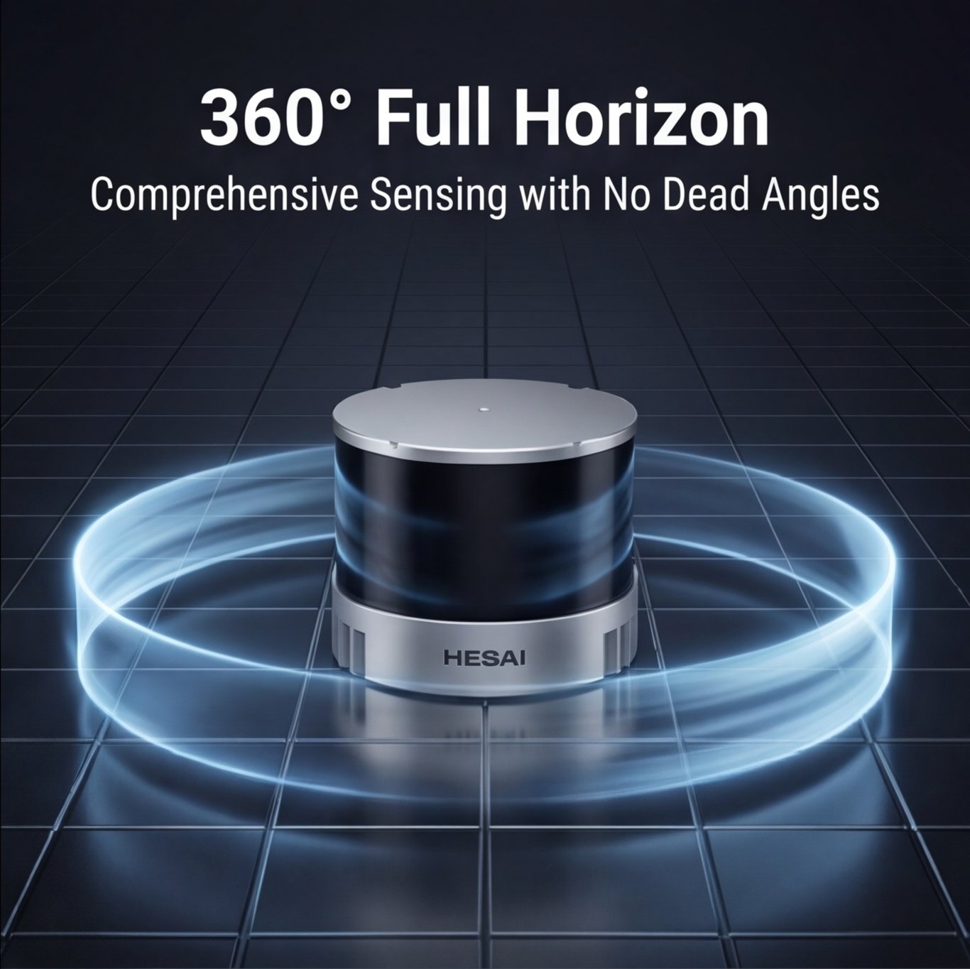
True Zero Blind Spot
Unlike conventional LiDARs that lose detection capability within 0.5 meters, the XT Series continues to output valid point clouds even when an object is in direct contact with the housing. This eliminates the near‑field blind zone, enabling precise detection of obstacles immediately adjacent to the sensor.
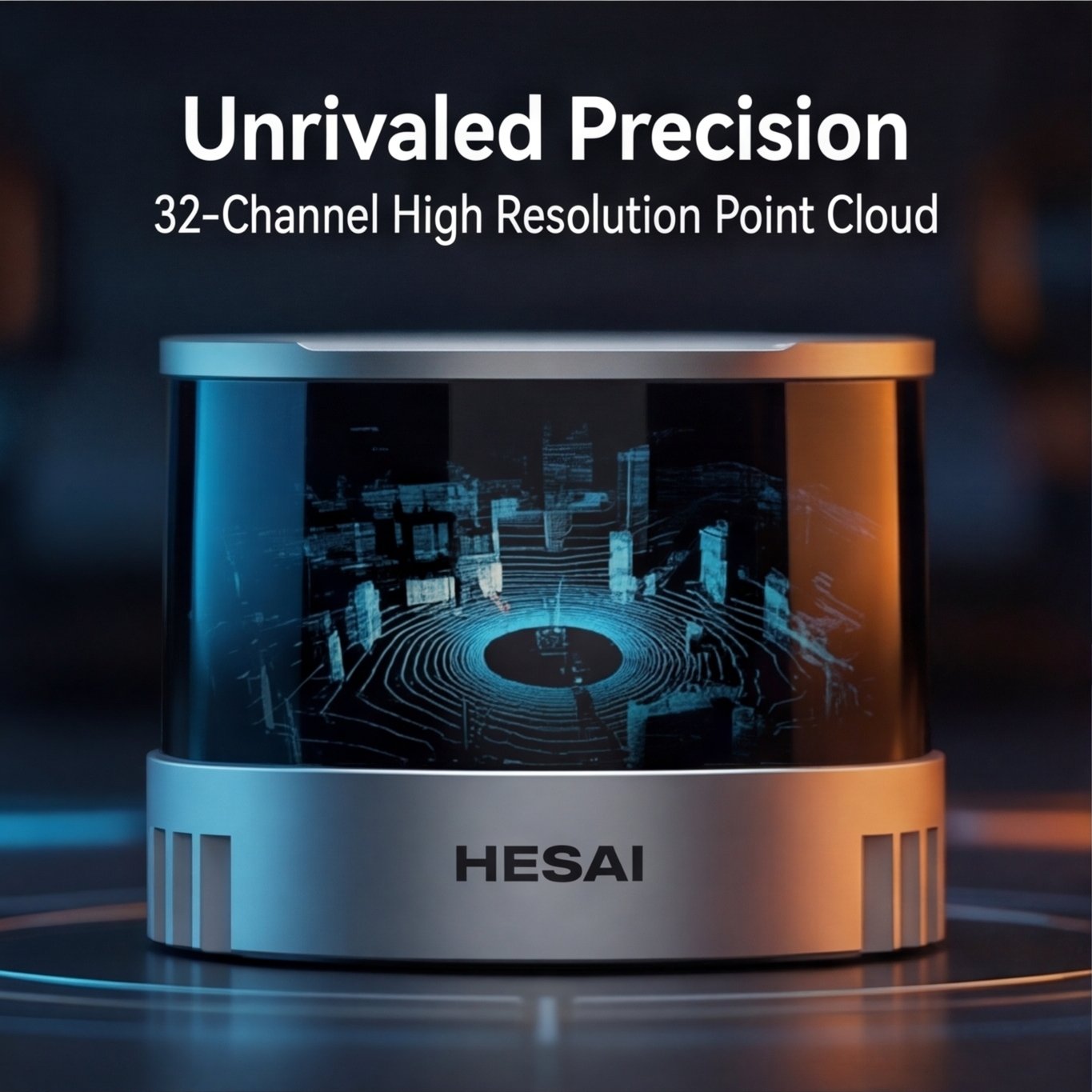
Higher Resolution, Longer Reach
With up to 32 lines, the XT32 delivers double the point cloud resolution of traditional mid‑range LiDARs. This results in denser, more detailed perception for improved object detection and classification.
High‑Quality Reflectivity Information
The sensor captures accurate reflectivity measurements across a wide range of materials—from low‑reflectivity objects (e.g., tires at 5%) to high‑reflectivity surfaces (e.g., retroreflective plates at 100%)—enabling reliable identification of lane markings, signage, and other critical features.
Industrial‑Grade Reliability
Designed for continuous operation, the XT Series undergoes rigorous reliability validation and achieves a typical service life exceeding 30,000 hours under standard operating conditions, ensuring stable performance in demanding environments.
Key Applications
The XT Series is well‑suited for applications that demand high‑resolution, close‑range sensing with wide or panoramic coverage. Its compact form factor and flexible integration options make it a preferred choice across industries.
| Application Area | Description |
|---|---|
| Autonomous Driving | Serves as a perception or blind‑spot filler for robotaxis, autonomous buses, and commercial vehicles, providing detailed near‑field awareness to complement long‑range primary LiDARs. |
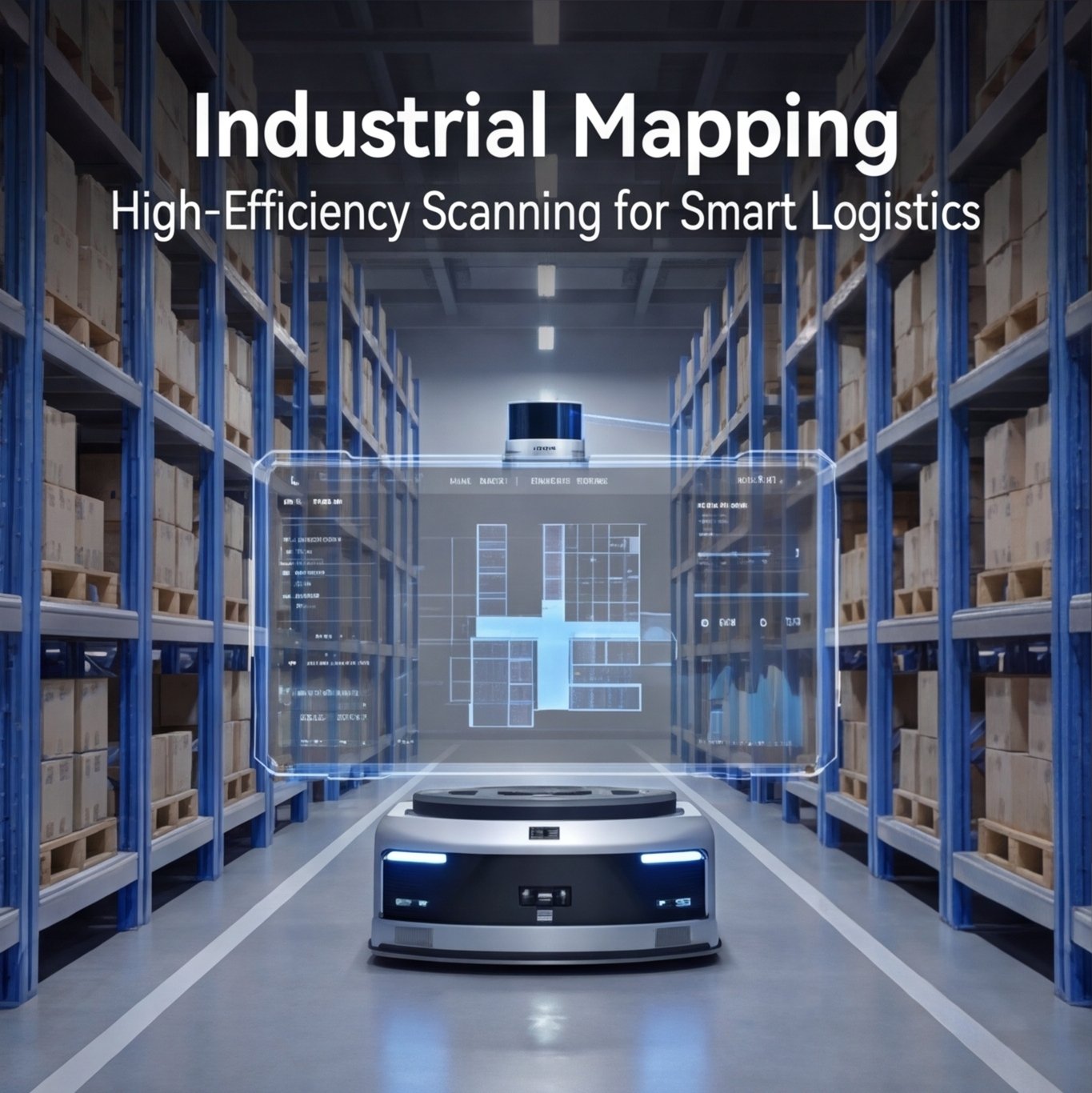
| Robotics | Ideal for logistics robots, autonomous forklifts, and service robots that require precise navigation, obstacle avoidance, and close‑range docking in cluttered environments. |
| High‑Definition Mapping & Surveying | Deployed on mobile mapping platforms, drones, and handheld scanners to capture high‑density point cloud data for 3D modeling, digital twins, and infrastructure inspection. |
| Static Applications & Security | Used in perimeter surveillance, traffic monitoring, and industrial safety systems to detect intrusions, track objects, and trigger alerts with minimal blind spots. |
| Ground Truth & Research | Provides accurate reference data for algorithm training, sensor fusion development, and academic research in robotics and autonomous systems. |
| ADAS (Advanced Driver Assistance Systems) | Supports close‑range automated parking, traffic jam assist, and intersection monitoring by filling the near‑field perception gap often left by forward‑facing LiDARs. |