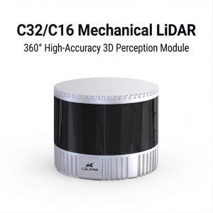
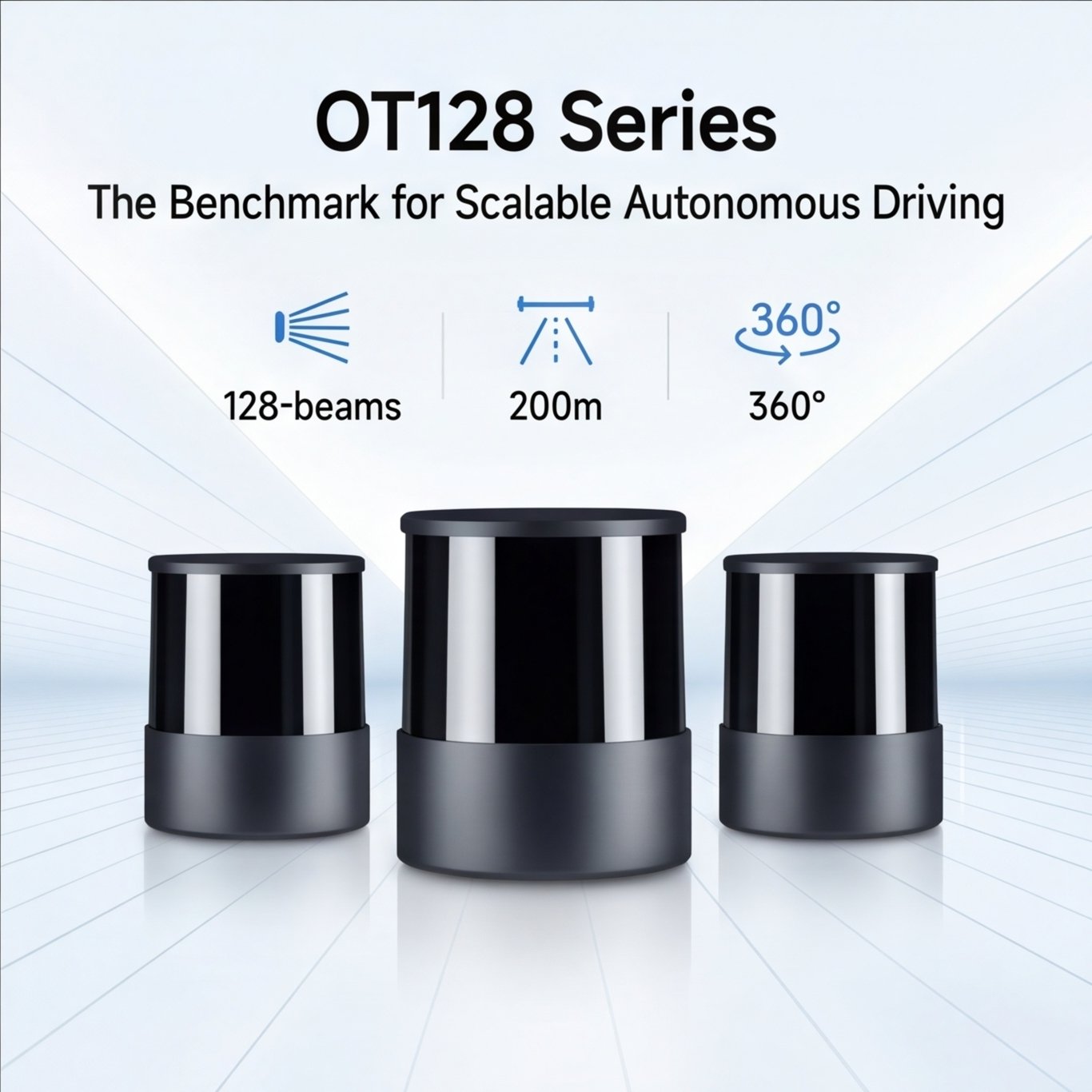


Auto-Grade Flagship 360° High-Performance Long-Range Lidar
The OT128 spinning lidar utilizes a simplified transceiver module design to significantly reduce the cost while still maintaining extremely high performance and reliability. The unique combination of high-performance 360-degree perception and affordability makes the OT128 the ideal lidar solution for scalable autonomous driving applications.
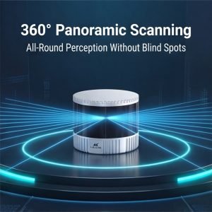
A single OT128 lidar can cover a vehicle’s entire field of view without stitching, eliminating the need for multiple calibration steps which can significantly accelerate algorithm software development.
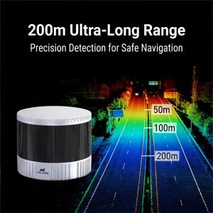
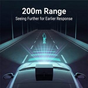
With a finest angular resolution of 0.1° (H) x 0.125° (V), the OT128 can accurately perceive objects large and small at a distance of 200 meters away, providing powerful perception data for autonomous driving systems.
Under 100 klux strong ambient light, OT128 has a ranging capability of 200 m at 10% reflectivity (230 m maximum), clearly detecting objects in real time and capturing every detail of its surrounding road conditions.
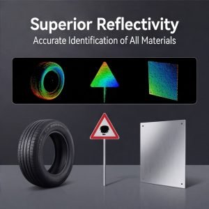
Leveraging Hesai’s proprietary Intelligent Point Cloud Engine (IPE), the OT128 is capable of detecting rain, fog, exhaust fumes, and water splashes on the road. It performs real-time marking of these phenomena at a pixel level, effectively filtering out environmental noise. This capability will significantly mitigate the impact of rain and fog on lidar performance, thereby enhancing its clarity and enabling all-weather perception across various applications.
Specifications
SENSOR
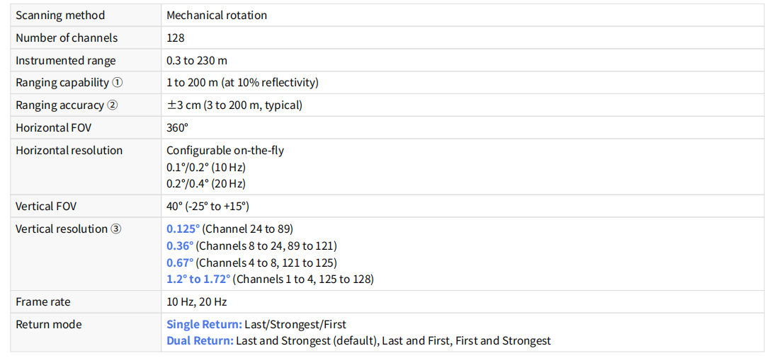
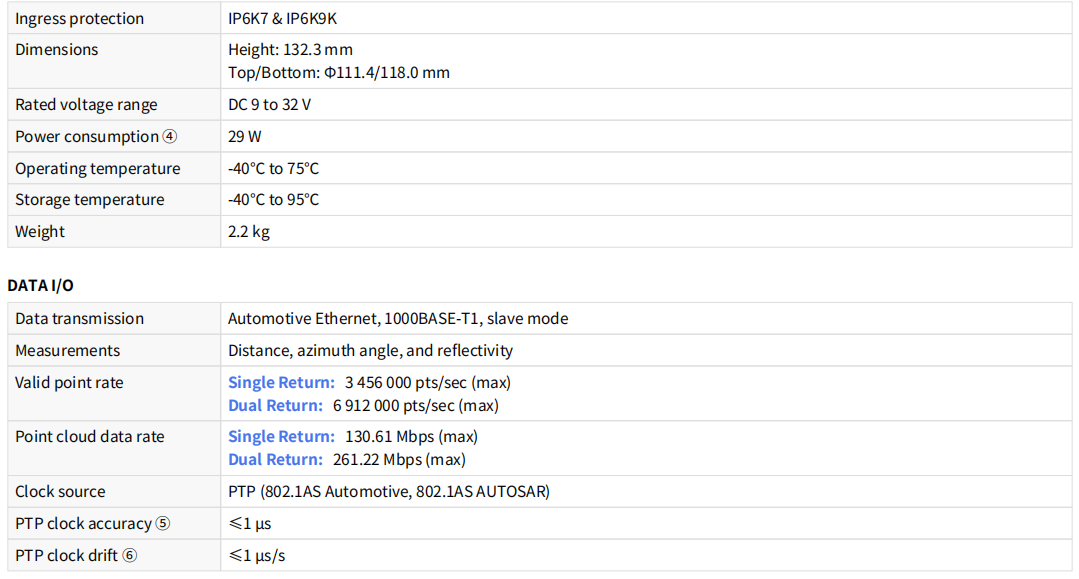
MECHANICAL/ELECTRICAL/OPERATIONAL

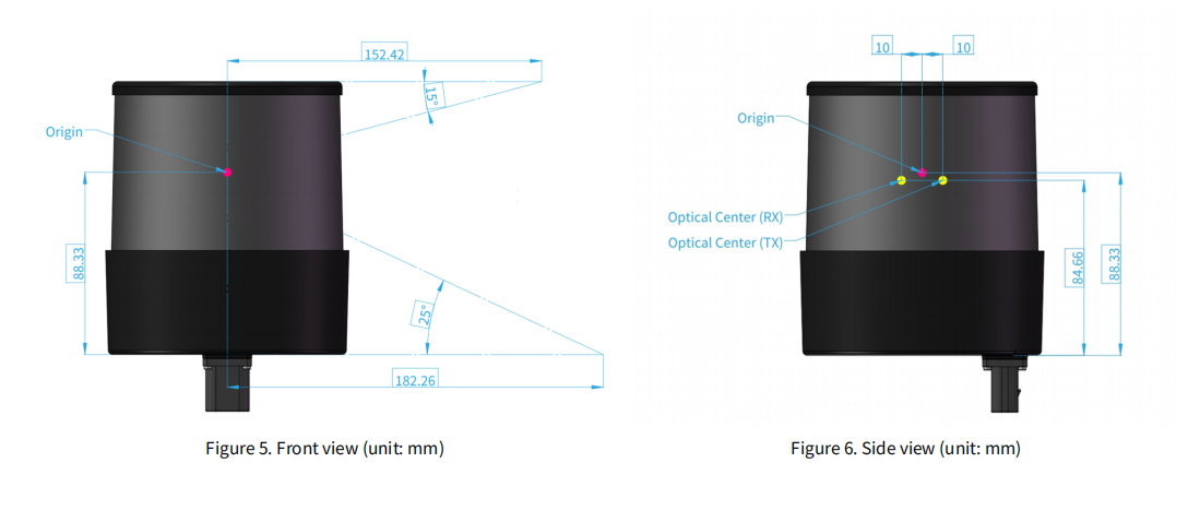
Laser firing position

Channel distribution
All channels are unevenly distributed, as illustrated in Figure 4.
• Vertical resolution: See Section 1.6 Specifications.
• The design values of each channel’s angular position: See Appendix A Channel distribution data.
• Channel number counts from 1, top to bottom.

Product Highlights
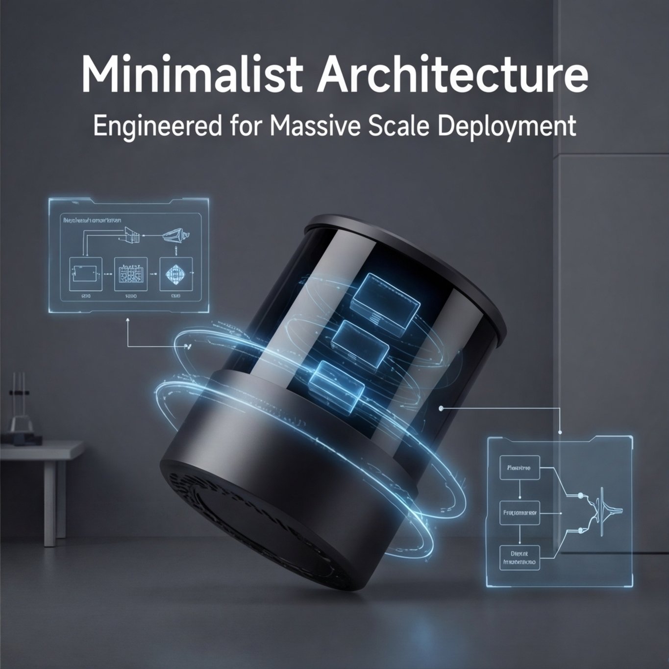
The Hesai OT128 is a high-performance 360° rotating LiDAR engineered for large-scale deployment. Its ultra-simplified architecture—achieved through deep vertical integration—reduces complexity while maintaining superior performance and cost efficiency, making it ideal for mass production in autonomous driving and industrial applications.
- 360° Coverage, No Stitching
A single unit delivers full 360° horizontal field of view without the need for multi-LiDAR stitching or calibration, simplifying system integration and algorithm development. - High-Resolution & Long Range
With an industry-leading angular resolution of 0.1° (H) x 0.125° (V), the OT128 captures fine details of objects such as vehicles and pedestrians beyond 200 meters. It achieves a maximum range of 230 meters under 100 Klux ambient light, ensuring reliable perception even in challenging lighting. - All-Weather Reliability (IPE Technology)
Equipped with Hesai’s proprietary Intelligent Point Cloud Engine (IPE), the OT128 identifies and filters out noise from rain, fog, dust, and exhaust in real time at the pixel level. This ensures clean, reliable point cloud data for uninterrupted operation in adverse weather. - Safety & Compliance
Classified as Class 1 (eye-safe) and developed in compliance with ISO 26262 (functional safety) and ISO 21434 (cybersecurity) standards, the OT128 is built for safety-critical applications.
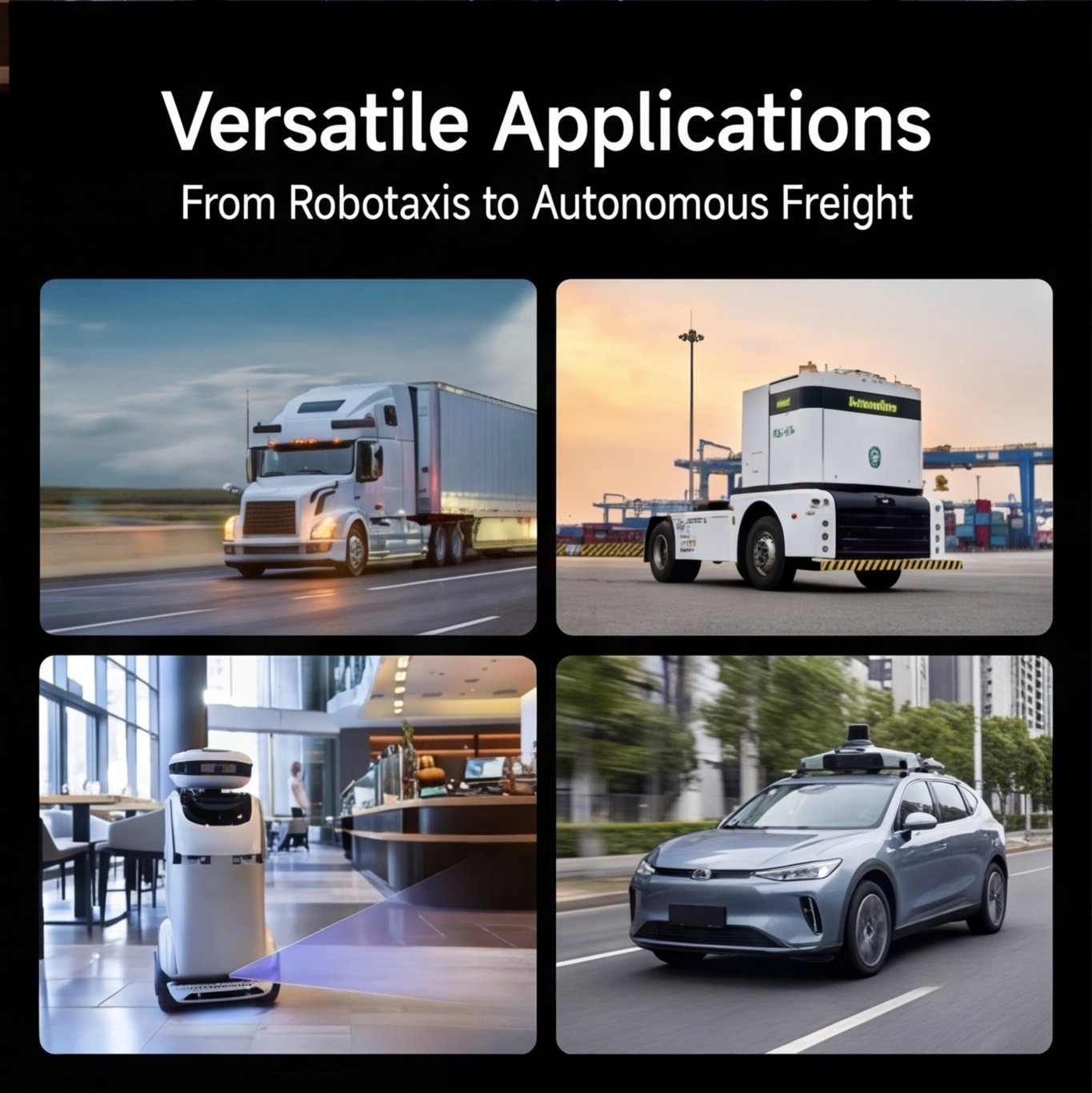
Key Applications
The OT128 is designed to serve a wide range of industries and use cases. Its combination of 360° perception, long range, and robust all-weather performance makes it a versatile solution for both on-road and off-road applications.
| Application Area | Description |
|---|---|
| ADAS (Advanced Driver Assistance Systems) | Serves as the core perception sensor for mass‑production passenger vehicles, enabling highway pilot, urban navigation, and other L2+/L3 assistance functions. |
| Autonomous Driving | Ideal for L3/L4 autonomous fleets including robotaxis, autonomous buses, and self-driving trucks, providing full 360° situational awareness. |
| Robotics | Used in logistics delivery robots, autonomous sweepers, and industrial automated guided vehicles (AGVs) for precise navigation and obstacle detection. |
| High-Definition Mapping & Surveying | Deployed on mobile mapping systems to capture high‑resolution 3D point cloud data for HD maps, digital twins, and infrastructure modeling. |
| Static Surveillance & Security | Enables large‑area perimeter monitoring, traffic flow analysis, and security alerts in airports, industrial zones, border checkpoints, and smart city infrastructure. |
| Ground Truth & Research | Serves as a high‑accuracy reference sensor for algorithm development, validation, and academic research in robotics and autonomous systems. |