


Auto-Grade 128-Channel 360° Ultra-Wide View Short-Range Lidar
QT128 provides comprehensive blind spot coverage. Cars, pedestrians, and small animals at extremely close range can still be clearly detected.
Product Highlights
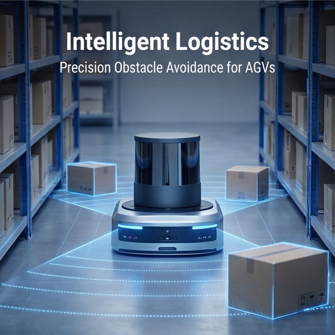
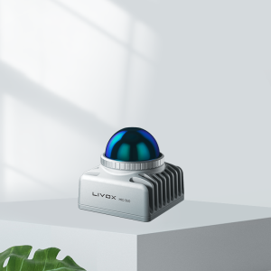
The Hesai QT128 is a 360° short‑range LiDAR designed to deliver ultra‑wide vertical field of view and dense near‑field perception. It is optimized for applications that require complete situational awareness around the sensor with high resolution at close distances.
- 360° Horizontal Coverage, Ultra‑Wide Vertical FOV
The QT128 provides full panoramic perception with an exceptionally wide vertical field of view, enabling it to capture objects directly above, at ground level, and everything in between without blind spots. - High‑Resolution Near‑Field Sensing
With 128 vertical channels, it delivers dense point cloud data that excels at detecting small obstacles, curbs, low‑hanging structures, and dynamic objects in close proximity to the sensor. - Compact & Robust Design
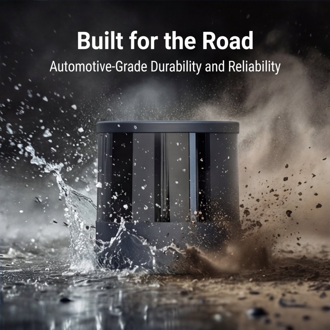
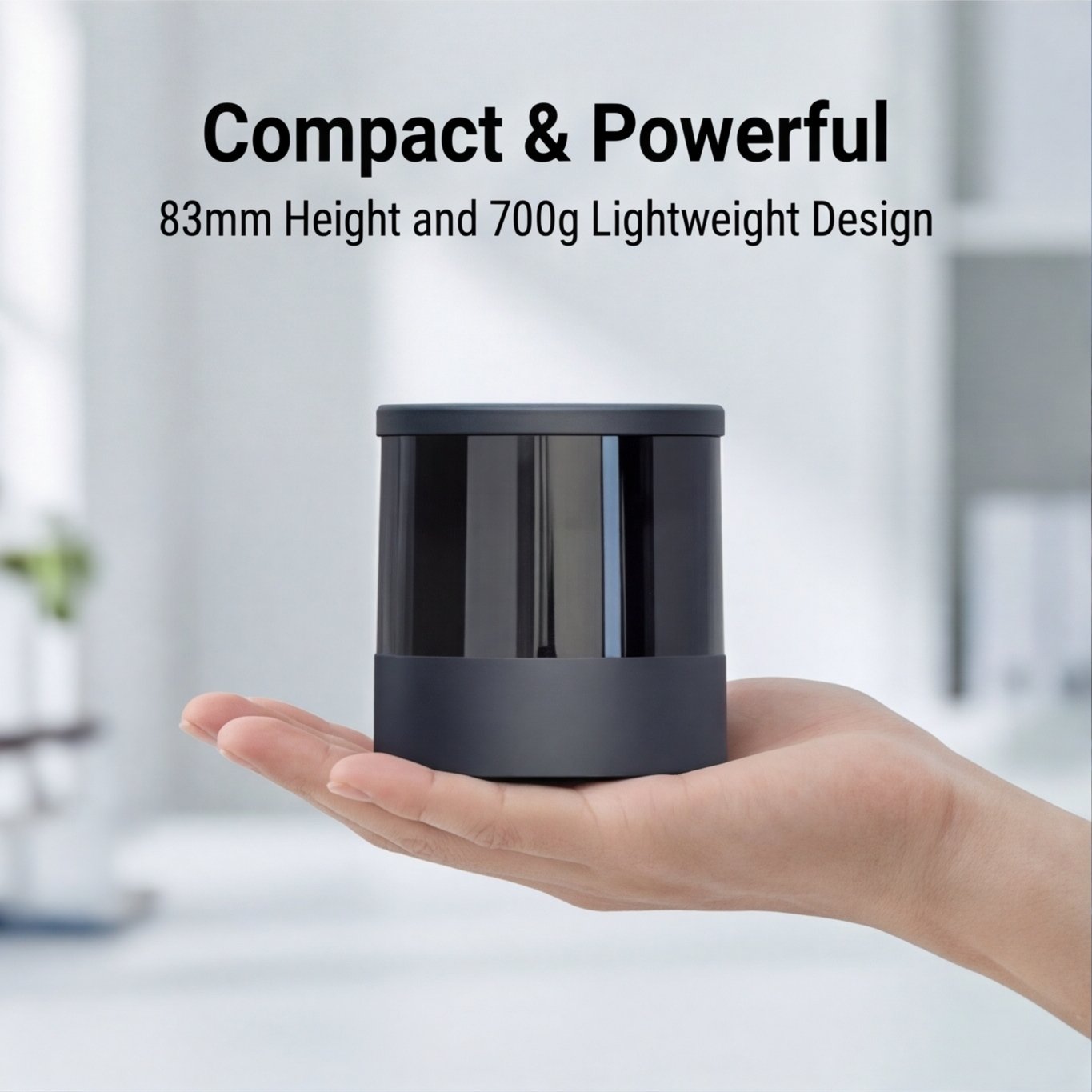
Built for integration into space‑constrained platforms, the QT128 combines a compact form factor with industrial‑grade reliability, suitable for continuous operation in challenging environments. - Class 1 Eye‑Safe
Compliant with Class 1 laser safety standards, ensuring safe operation in public and human‑centric environments.
Key Applications
The QT128’s combination of 360° coverage, ultra‑wide vertical FOV, and short‑range precision makes it an ideal choice for applications where detailed near‑field awareness is critical.
| Application Area | Description |
|---|---|
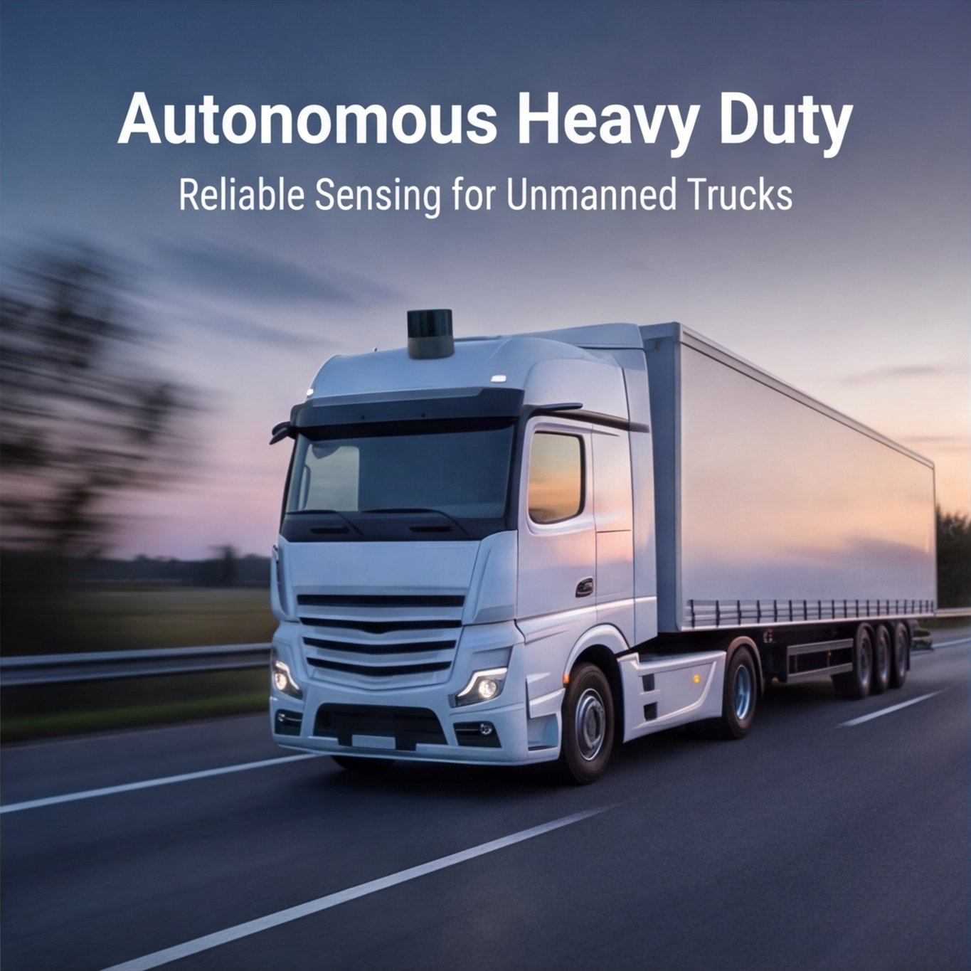
| Autonomous Driving | Used as a corner or side LiDAR for robotaxis, autonomous buses, and commercial vehicles to cover blind spots near the vehicle body, enabling safe lane changes, tight maneuvering, and urban navigation. |
| Robotics | Perfect for logistics robots, autonomous forklifts, and service robots that require accurate obstacle detection at close range for docking, pallet pickup, and navigation in crowded spaces. |
| Intelligent Traffic & Infrastructure | Deployed in intersection monitoring, toll stations, and pedestrian crossings to track vehicles, cyclists, and pedestrians with high resolution across a wide area. |
| Industrial & Safety Systems | Used for perimeter protection, blind‑spot detection in heavy machinery, and safety monitoring in warehouses, ports, and manufacturing facilities. |
| Mobile Mapping & Surveying | Ideal for capturing detailed 3D point clouds of building facades, tunnels, and indoor environments where close‑range accuracy and wide vertical coverage are required. |